
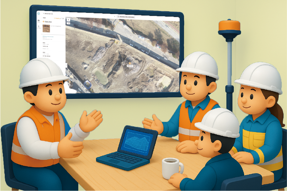
Before starting construction, the question that weighs on you most is probably: 'How accurately do we understand the current state of the site?' Because any error that arises as early as the pre-construction stage can affect the entire process that follows, securing data at this point matters more than anything else.
As you may have guessed, a drone can take on that role. A single flight can reduce many of the risks that can arise across several stages, including contract review, budget estimation, and the final site check just before breaking ground.
Today, focusing on why a drone survey is necessary before breaking ground, we will introduce concrete ways that construction companies can manage site risks effectively.

A drone survey is a great help in assessing project feasibility and strengthening your competitiveness in a bid. In redevelopment or reconstruction projects, the drawings and existing materials provided by the client are often not enough to fully understand the site, and satellite imagery is frequently outdated and lacking in accuracy.
In such cases, using drone data lets you quickly and precisely verify the actual condition of the site, the surrounding environment, and the characteristics of the terrain. The data you obtain strengthens the basis for your contract proposal and feasibility analysis, and helps improve the credibility of a bid that reflects actual site conditions. Internally, it can also serve as important evidence when reviewing whether participating in the project is the right decision.
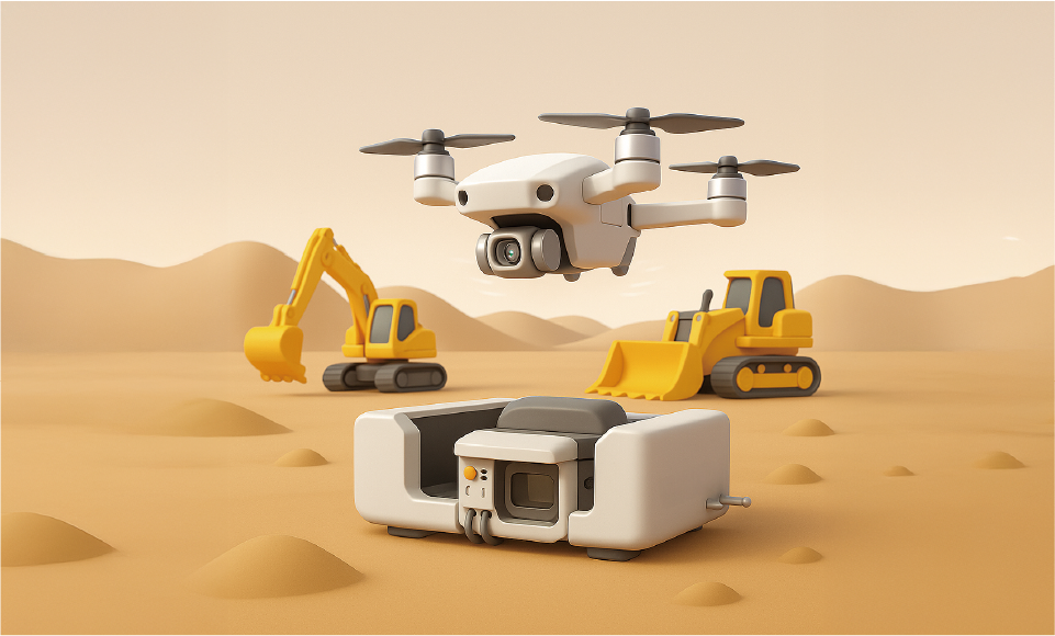
A drone survey is also a powerful tool at the budget review stage. The initial budget varies greatly depending on the earthwork volume and on whether obstructions such as trees or existing structures need to be handled. Even a very small error can shake the entire project cost. Using data captured by drone, you can precisely identify the elevation differences of the terrain, the usable area of the site, and even the locations of obstructions. Based on this, you can calculate the earthwork volume, define the scope of demolition, and carefully review even temporary works costs, effectively preventing the cost omissions that can arise at the project approval stage.
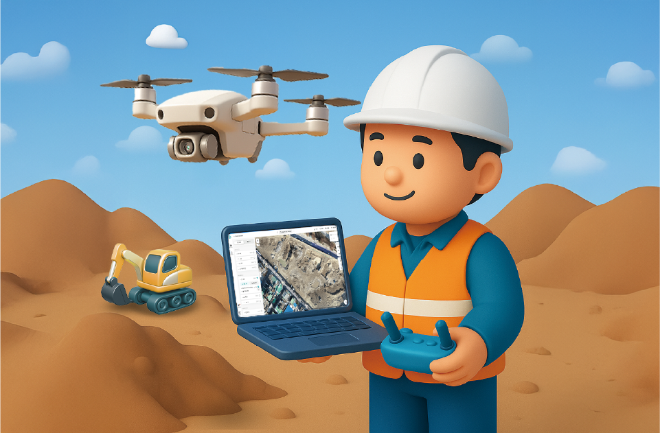
Just before breaking ground, you need to compare the design drawings with the actual site once more. And if a site handover is coming up, a step to confirm whether the condition of the site you were given matches the current situation is absolutely essential.
Securing drone survey data at this point lets you use it to review the final earthwork plan, quantities, and equipment layout, and it becomes solid supporting evidence when consulting with the client or the party handing over the site. Furthermore, because it also helps you simulate the temporary works plan, you can reduce in advance the risks, such as construction cost increases, that can occur after breaking ground.
If you are planning to inspect the site before breaking ground, now is the best time to consider a drone survey. If you need a site inspection or specific guidance, please feel free to reach out at any time. Meissa will manage your project's variables in advance so that you can begin construction more reliably.

