Efficient & Safe Site Management with Meissa

Optimize site management with powerful features like monitoring, drawing comparison, and earthwork volume measurement.

컴퓨터 화면에 도시 건물 3D 모델과 메이사 플랫폼의 건설 현장 분석 소프트웨어 화면들이 나열됨
Use of Construction Site Data

Smarter, Safer, and More Efficient Site Management with Meissa

Experience Fast and Efficient Construction Site Management with Meissa's Various Functions that Utilize the Collected Field Data.

01

Access the Latest Site Maps Anytime

Track site changes and progress instantly, from anywhere.

02

Intuitive Drawing Comparison & Progress Tracking

Ensure construction aligns with plans through easy visual comparisons.

03

Earthwork Volume Measurement in Clicks

Reduce costs and time by 90% with precise cm-level accuracy.

04

Real-Time Communication & Safety Monitoring

Enhance team safety with live location sharing and instant issue alerts.

01. Remote Site Monitoring

Monitor and share site changes remotely.

Remotely monitor the work site with 2D maps, 3D models, 360 panoramas, and videos on a single platform, and promptly check daily site changes and progress.

2D/3D Site View

Instantly access the latest site visuals.

도시 지역 중심의 큰 건설 현장 항공 촬영 이미지.

Panorama & CCTV

View and compare site conditions through video.

건물 위성 지도와 여러 CCTV 화면을 보여주는 건축 안전 모니터링 인터페이스.

Change Tracking

Use side-by-side comparisons to track progress over time.

두 개의 항공 사진을 비교하는 슬라이더로 한쪽은 토목작업 전 2020년 11월 1일, 다른 쪽은 작업 후 2020년 11월 24일 모습.
02. Construction Progress & Compliance

Ensure construction aligns with plans by overlaying CAD, BIM, and cadastral maps on real-time site data.

Using the Drawing Overlay Function (2D CAD, 3D BIM Drawings), We Can Compare Design Planning and Construction Status and Track Progress. Understand It Efficiently.

Drawing Overlay

Compare designs with actual site conditions.

건설 부지의 위성 지도와 왼쪽에 위치와 측정 도구 메뉴가 있는 화면.

BIM Matching

Align 3D models for structure accuracy.

BIM 소프트웨어에서 3D 점 데이터로 표시된 건설 현장 지형과 옆에 3D 점 조정 패널.

Cadastral Mapping

Verify land parcels and resolve disputes easily.

지도 위에 보상 예정, 보상 진행 중, 보상 완료 구역이 색상으로 표시된 2D 항공 사진 지도 화면.
03. Earthwork Volume Measurement

Get precise earthwork calculations in minutes, not hours.

Existing Survey Work That Takes About 4 Hours for 100 ha Can Be Confirmed With Just a Few Clicks on the Meissa Platform.

Cross-Section Analysis

Compare site elevation with planned heights.

건설 현장 위성 지도와 2D, 3D 보기 옵션을 보여주는 웹사이트 인터페이스.

Automated Volume Calculation

Instantly estimate remaining work.

건설 현장 위에 66.183㎡ 부지 면적이 표시된 녹색 경계 구역과 좌표 데이터가 보임.

Progress Tracking

Monitor daily and monthly excavation data.

조닝 도면과 면적, 생산 구분, 전체 수량, 이전 날짜 대비 반출량을 보여주는 상세한 표.
04. Real-Time Communication & Safety Management

Enhance site collaboration and safety with instant issue tracking and geofencing.

The Meissa Platform Immediately Records Tasks/Actions on My Latest Site Map and Provides Web and Mobile Apps. You Can Communicate Quickly Through Them. In Addition, Remote Site Safety Management Is Also Possible as On-Site Risk Zone Setting and Location Tracking Are Possible Through the Meissa Guard App.

Task & Issue Management

Log and share updates in real time.

공사 현장 항공사진과 지형 정보가 표시된 3D 측량 소프트웨어 인터페이스 화면.

Personnel & Equipment Tracking

Monitor locations on live site maps.

위성 지도에 노무자 다섯 명의 실시간 위치가 표시된 화면.

Hazard Zone Alerts

Set danger zones and receive automatic warnings.

건설 부지의 상공 사진으로, 도로와 차량, 다양한 흙과 자재 더미가 보임.
Q&A

Frequently Asked Questions

The First Step to Smart Construction, the Meissa Platform. Ask Meissa Any Time.

How Are the BIM Model and 3D Model Matched to the Exact Location?

Coordinate Information of the BIM Model and 1:1 Scale Coordinate Information of Meissa's 3D Model Makes This Possible.

Icon - Elements Webflow Library - BRIX Templates

How Is Spatial Information Data Included in an Orthophoto (Map)?

The File Structure of an Orthophoto Is GeoTIFF, and This Is Possible Because the File Structure Includes Coordinate System Data and Is Stored Along With the Photo.

Icon - Elements Webflow Library - BRIX Templates

How Are Drawings and Orthophotos (Maps) Matched to the Exact Location?

This Is Possible by Matching the Coordinate Information of the Drawing With the Coordinate Information of Meissa's Orthophoto Made at 1:1 Scale.

Icon - Elements Webflow Library - BRIX Templates

What Is the Error Value When Measuring Earthwork Volume?

It Is Fast and Based on Drone Spatial Data With an Error of Less Than 2cm on the x and y Axes and 6cm on the z Axis. Accurate On-Site Measurement Is Possible.

Icon - Elements Webflow Library - BRIX Templates

How Can I Further Reduce x, y, z Value Errors?

The Accuracy Increases as the Number of GCPs Per Site Is Secured to the Maximum. (1 GCP at Intervals of 300-500m Horizontally/Vertically). Additionally, the More Photos That Contain GCPs (At Least 4-5) and the More You Avoid Photos With Reflections, Repeated Patterns, or No Patterns at All, the Higher the Accuracy.

Icon - Elements Webflow Library - BRIX Templates
Use case

Construction Client Case Studies

How Are Meissa's Existing Customers Getting Started with Smart Construction?
Explore Through Meissa Platform Customer Cases.
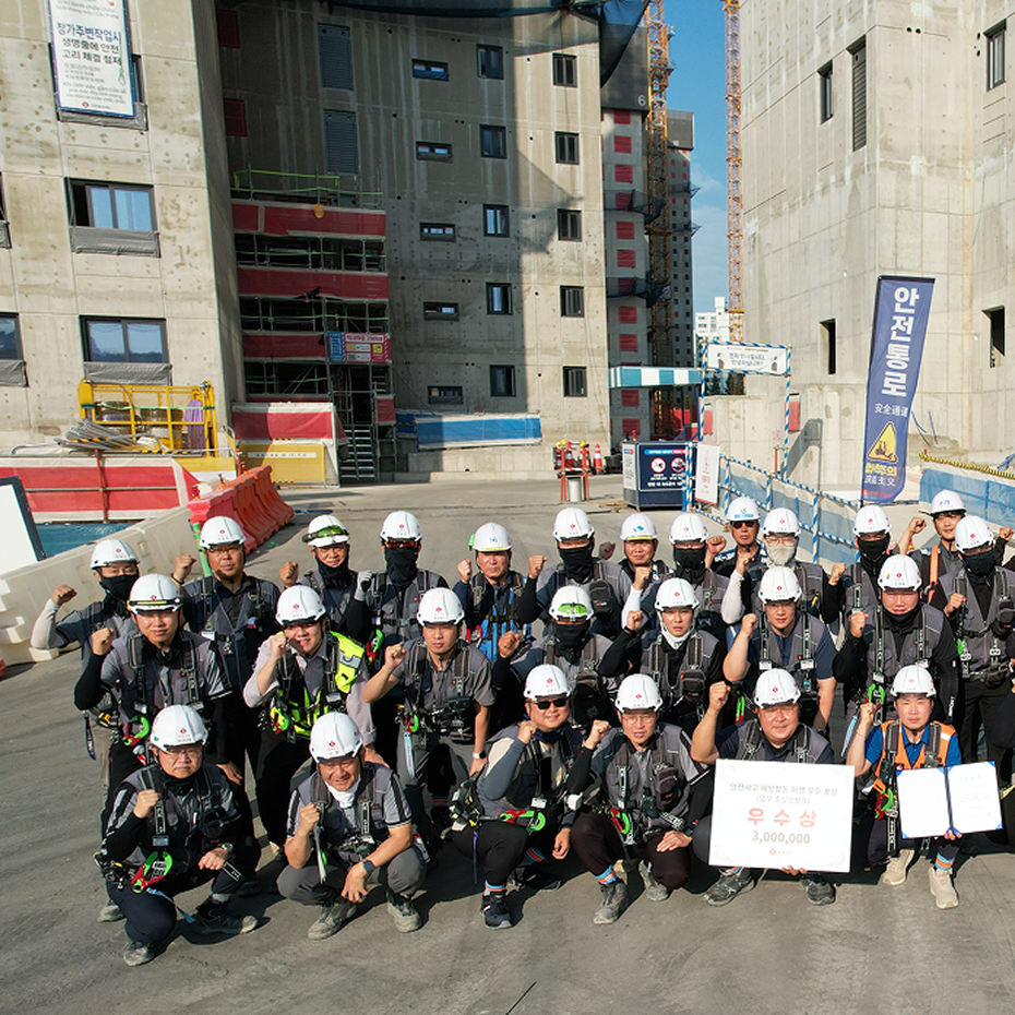
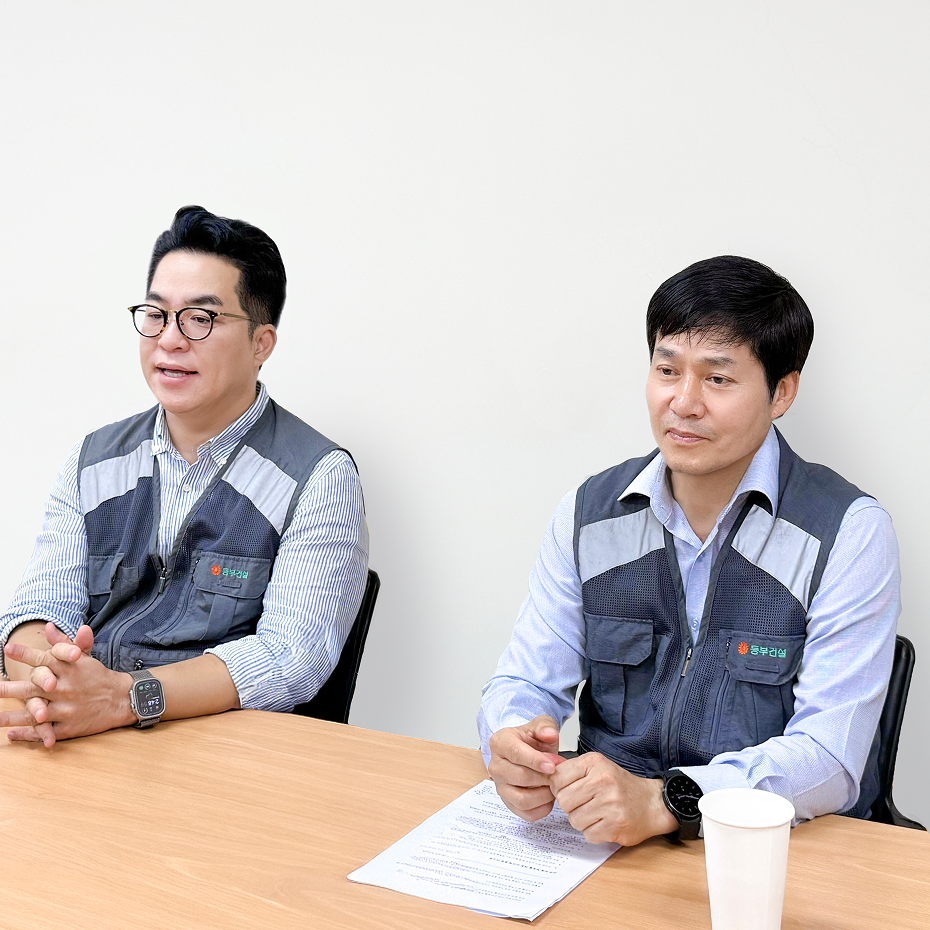
회의 중인 두 남성, 회색 작업 조끼를 입고 책상에 앉아 있다.
Dongbu Construction Sports Facility Case Study

“Dongbu Construction has achieved real-time site management with Meissa.”

Cheonan Football Center Project,
Dongbu Construction
Learn More
양복과 안경을 쓴 두 명의 남성이 밝은 배경 앞에 서 있다.
Obayashi Corporation DX Adoption Case Study

“Obayashi Corporation uses Meissa to visualize sites and manage progress and earthwork volumes.”

Next-Generation Technology Development Section, Obayashi Corporation
자세히 보기
회의실에서 베이지색 카디건을 입고 앉아 있는 남성이 말하는 모습.
Daewoo Engineering & Construction Apartment Project Case Study

“Daewoo Construction records the site in detail and improves operational efficiency through Meissa.”

Daewoo Construction Yeongtong Apartment Complex 1 and 2 Construction Site
Learn More
사무실 책상 앞에서 손으로 무언가를 설명하는 남성.
HDC Hyundai Development Company Apartment Project Case Study

“HDC Hyundai Development Company uses Meissa to reduce process overlap and boost on-site efficiency.”

Incheon CityOciel 3rd Complex Construction Site
Learn More
안경을 쓴 남성이 벽에 붙은 도표와 메모를 보며 집중하고 있다.
Xi C&A Production Facility Case Study

"At Xi C&A, we manage multi-channel data integrally with Meissa."

Xi C&A Ochang Energy Plant 2 Battery Production Building 2 Site
Learn More
안경을 쓴 남성이 진지한 표정으로 손을 들어 말하는 모습.
KCC Engineering & Construction Civil Works Case Study

"KCC Construction has optimized civil site management with Meissa."

KCC Construction Sejong-Anseong Expressway Section 5 Site
회의실에서 회색 카디건과 파란 셔츠를 입고 진지하게 대화하는 남성.
DL E&C Company-Wide Meissa Platform Adoption Case Study

"After adopting the Meissa Platform, we easily manage risks across all sites."

DL E&C Convergence Technology Team
Icon - Elements Webflow Library - BRIX Templates
On-site Introduction Procedure

Implementing Our Solution

Experience digitalization the easy way.

Choose a Plan

Select the right plan for your site.

Create an Account

Sign up in minutes.

Get Started

Complete on-site training and start right away.

Smart Construction Made Easy! Request a Meissa Demo.