SPATIAL ANALYSIS AI · Analysis and interpretation of spatial data

Satellite and drone imagery,
read accurately by AI

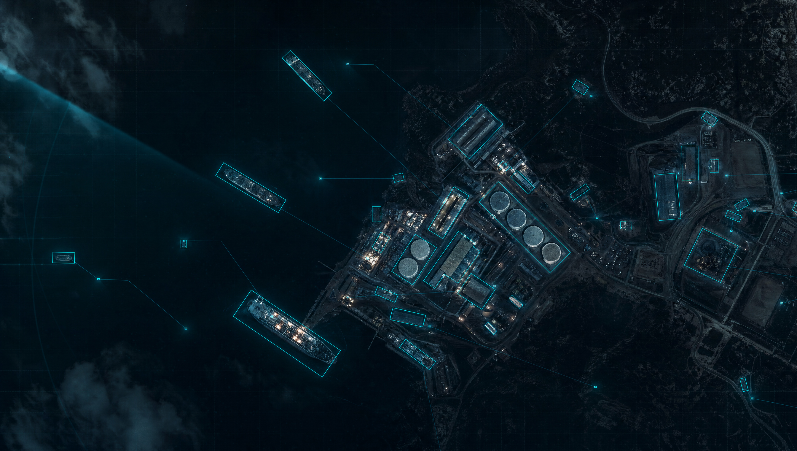
Spatial Analysis AI interprets satellite, aerial, and drone imagery to recognize objects and detect change. It fuses different sensor types and learns fast, even from limited data.

Industrial imagery is more than generic AI can handle

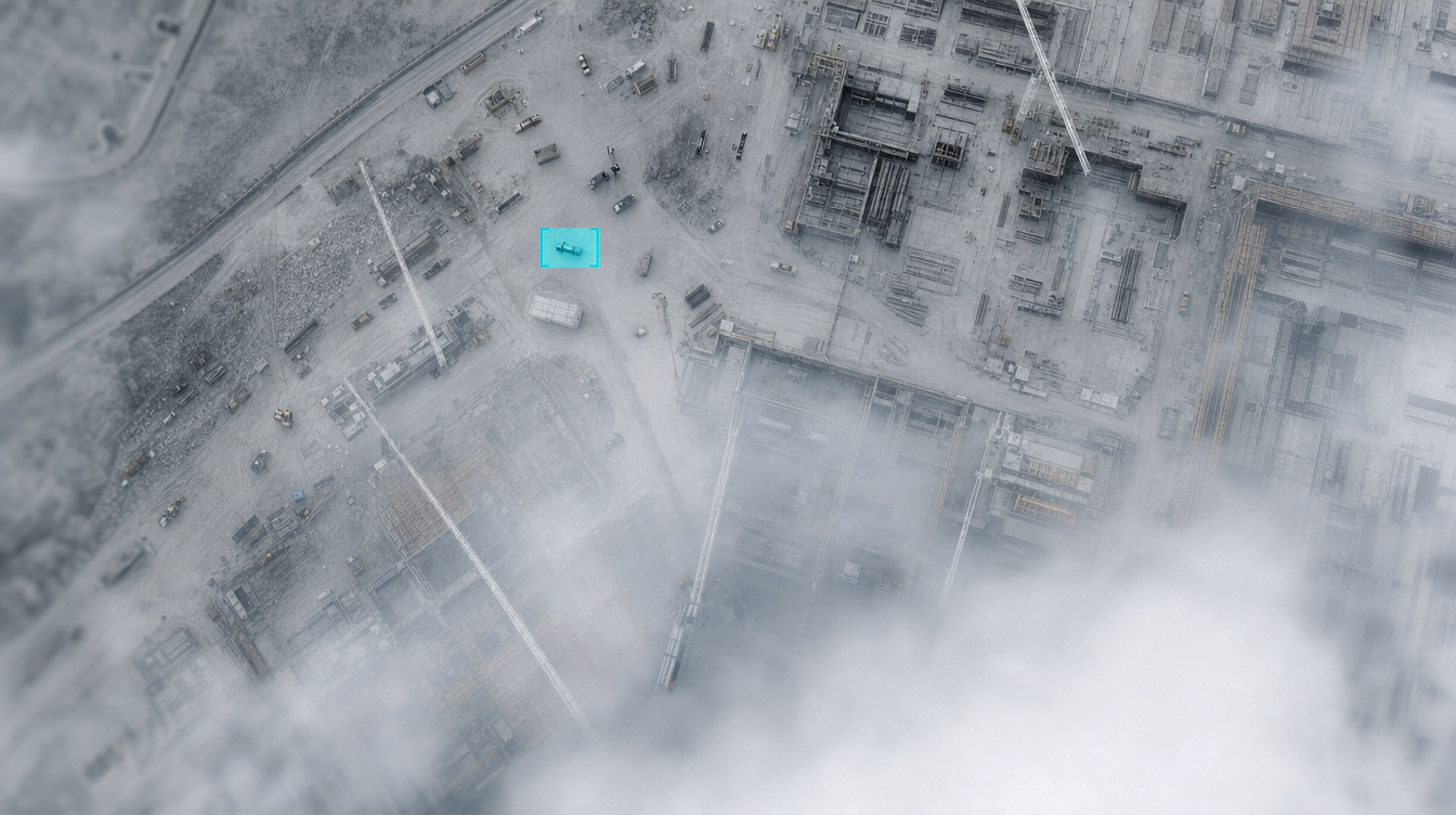
Overhead imagery is demanding, every sensor sees differently, and training data is scarce. Real-world spatial analysis AI has to clear all three walls.

01

Overhead imagery is different

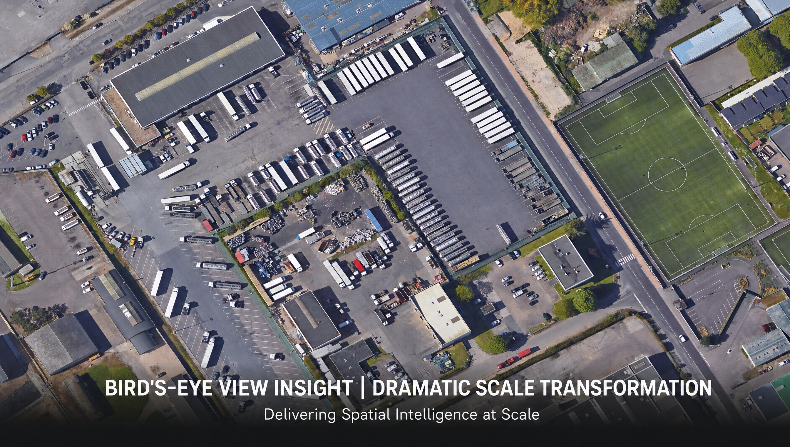
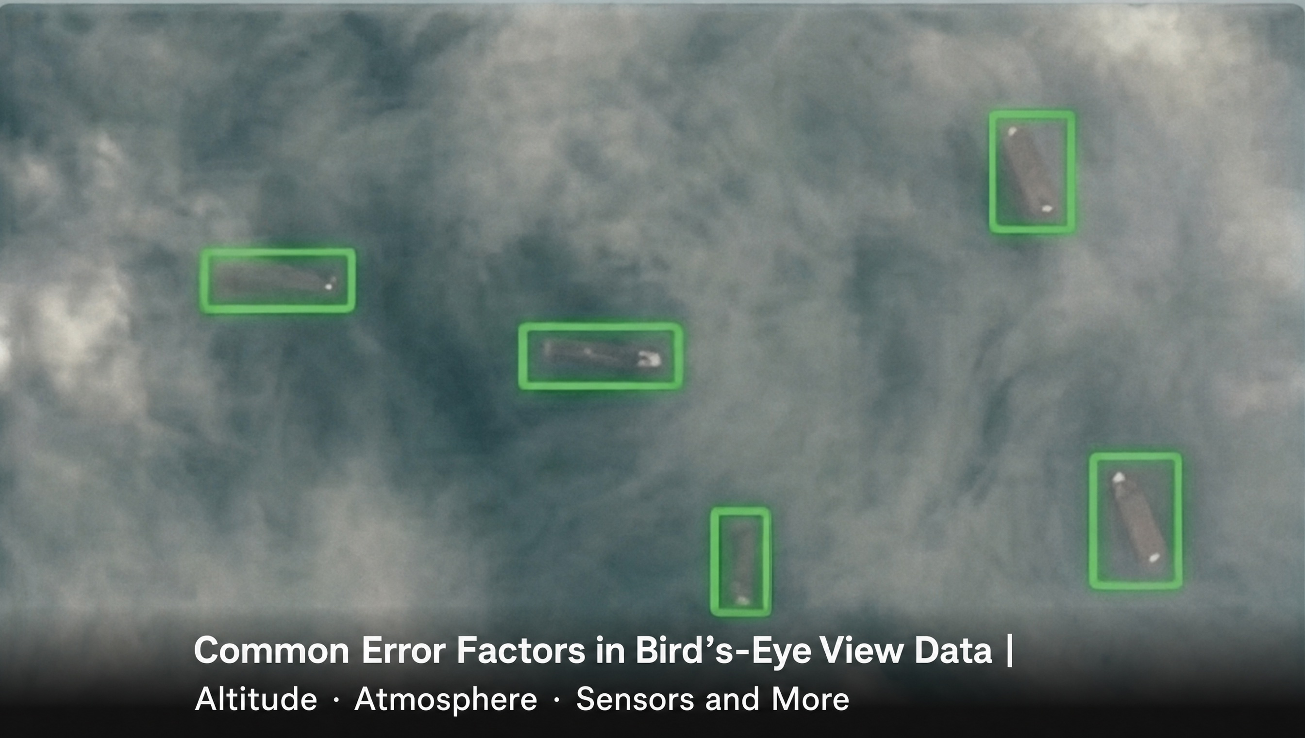
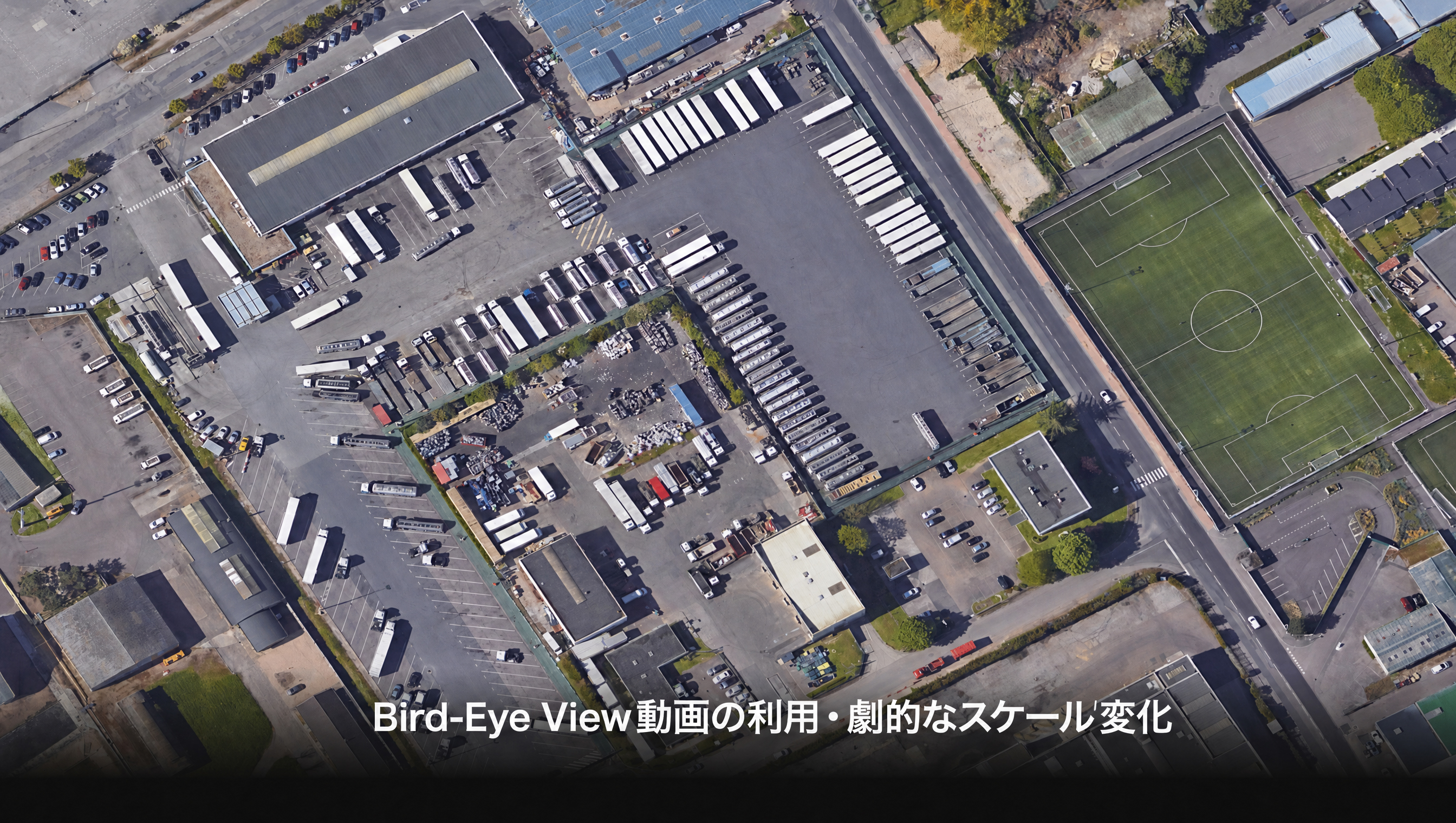
Seen from above, object scale varies wildly, and altitude and atmosphere introduce large errors. AI built for ground-level photos doesn't transfer.

02

Every sensor sees differently

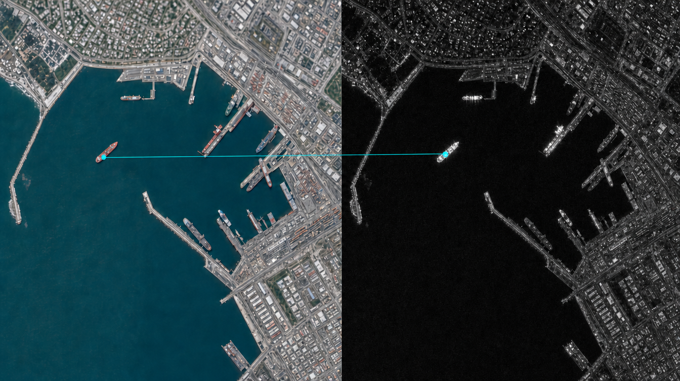
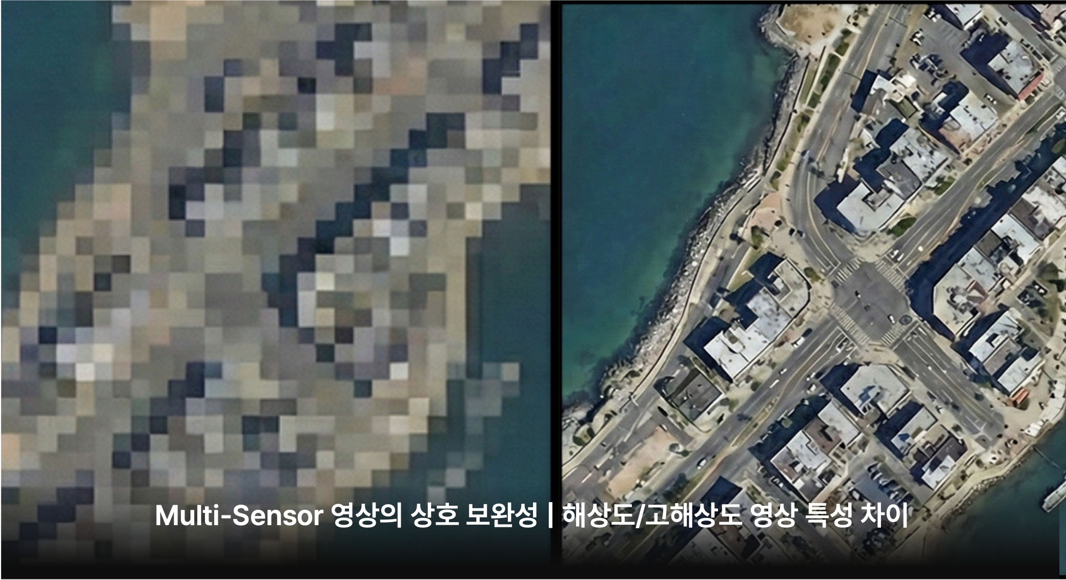
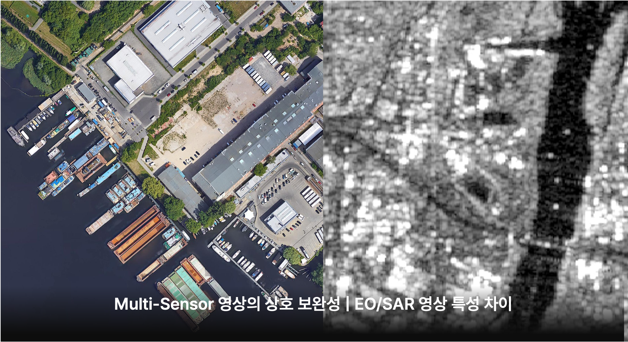
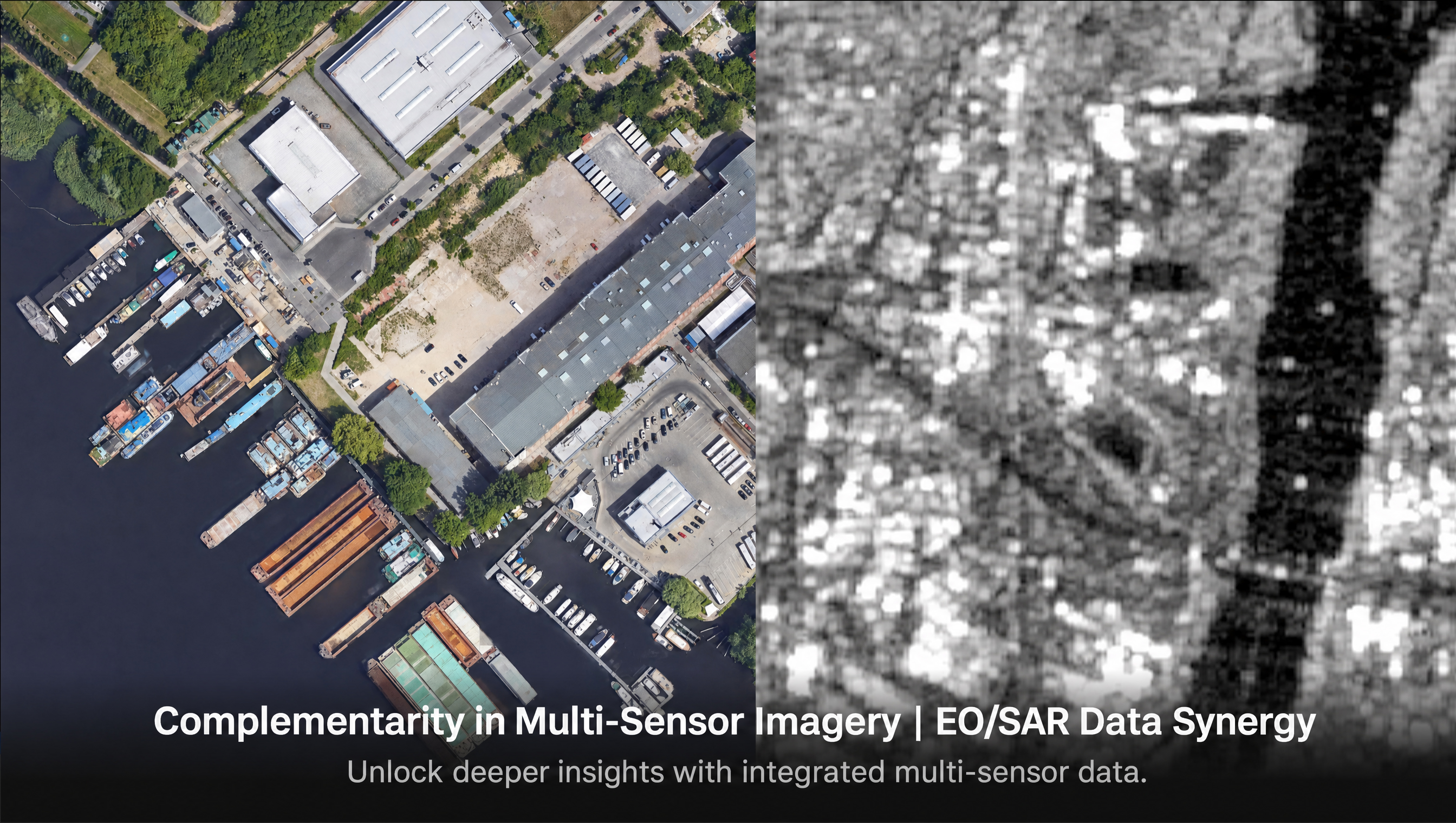
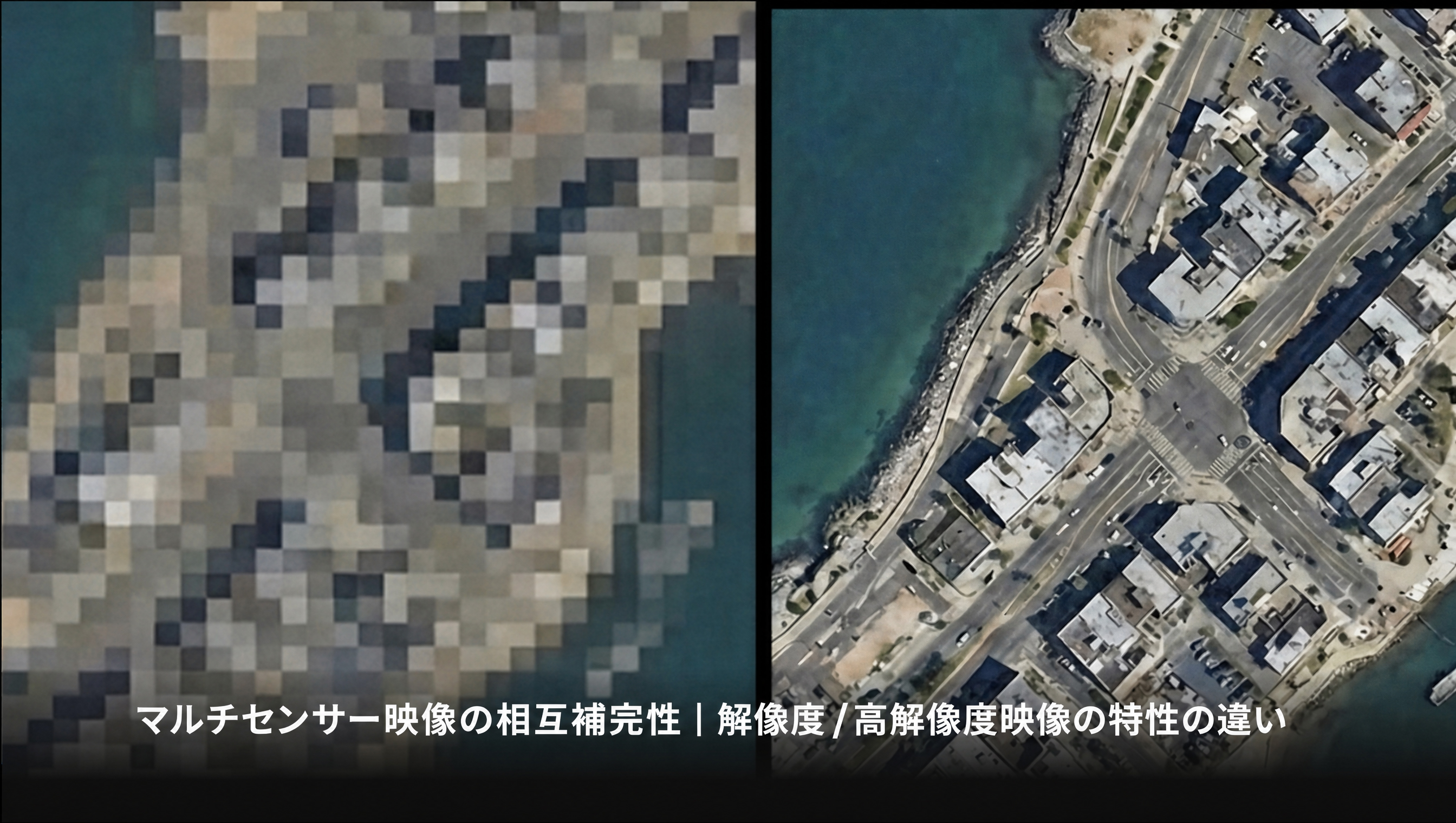
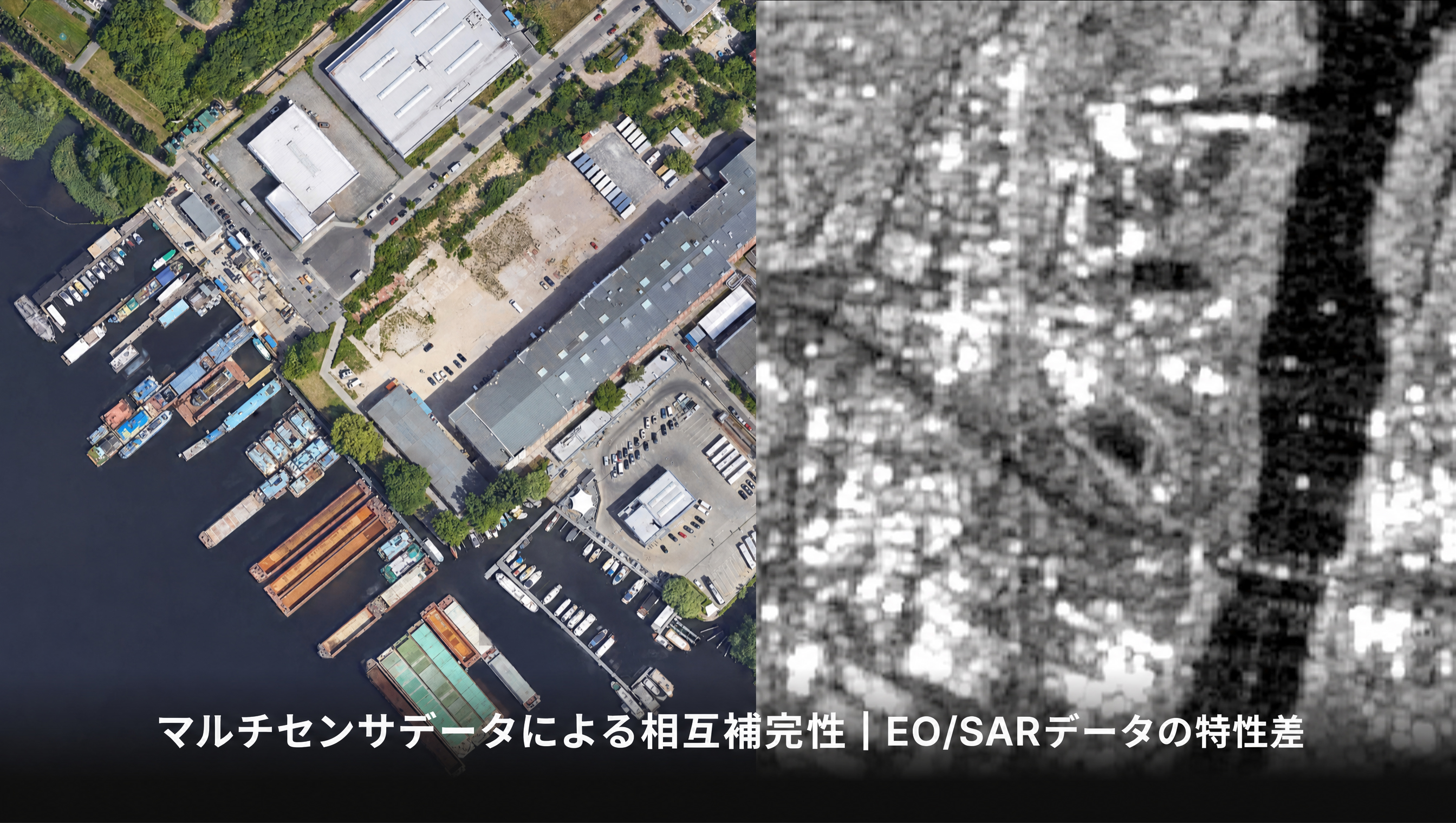
Optical cameras and radar, low and high resolution — each has its own characteristics. Fused well, they cover each other's blind spots and get far more accurate.

03

Training data is scarce

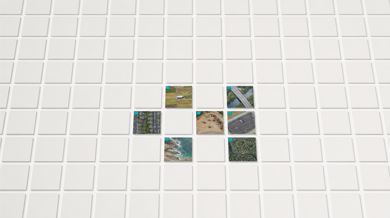
Well-curated training data barely exists in the field. You need AI that learns fast from very little.

Two technologies solving 'demanding imagery' and 'scarce data'

One accurately analyzes diverse overhead imagery; the other learns fast from limited data.

Bird-Eye View & Multi-Sensor AI

Accurate analysis across diverse overhead imagery

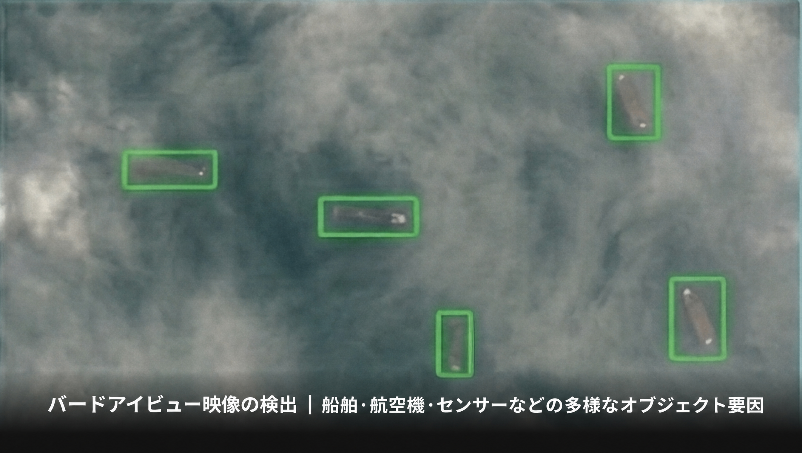
Bird-Eye View 영상의 제약 — 고도·대기·센서 등 다양한 오차 요인Multi-Sensor 영상의 상호 보완성 — 해상도/고해상도 영상 특성 차이Multi-Sensor 영상의 상호 보완성 — EO/SAR 영상 특성 차이Bird's-Eye View Insight — Dramatic Scale TransformationCommon Error Factors in Bird's-Eye View Data — Altitude, Atmosphere, Sensors and MoreCross-Calibration in Multi-Sensor ImageryComplementarity in Multi-Sensor Imagery — EO/SAR Data SynergyBird-Eye View 動画の利用 · 劇的なスケール変化バードアイビュー映像の検出 — 多様なオブジェクト要因マルチセンサー映像の相互補完性 — 解像度/高解像度映像の特性の違いマルチセンサデータによる相互補完性 — EO/SARデータの特性差

Data Efficient Learning

AI that learns fast from limited data

Even with scarce data, AI gets to work first.

See how Meissa's Spatial Analysis AI overcomes demanding field data.