

Meissa
Reality Capture reconstructs spatial data captured by drones, CCTV, LiDAR, and satellites into 3D. Where data is abundant, it produces survey-grade models for measurement and precision analysis; where data is limited, AI generates fast, robust 3D. The result is accuracy and coverage matched to each site's data conditions and intended use.

Reality Capture delivers 3D fit for the task — from survey-grade measurement to rapid reconstruction where data is limited.
2D imagery alone cannot convey height, distance, volume, terrain relief, or the spatial relationships between structures. Accurate spatial interpretation requires reconstructing reality in 3D.
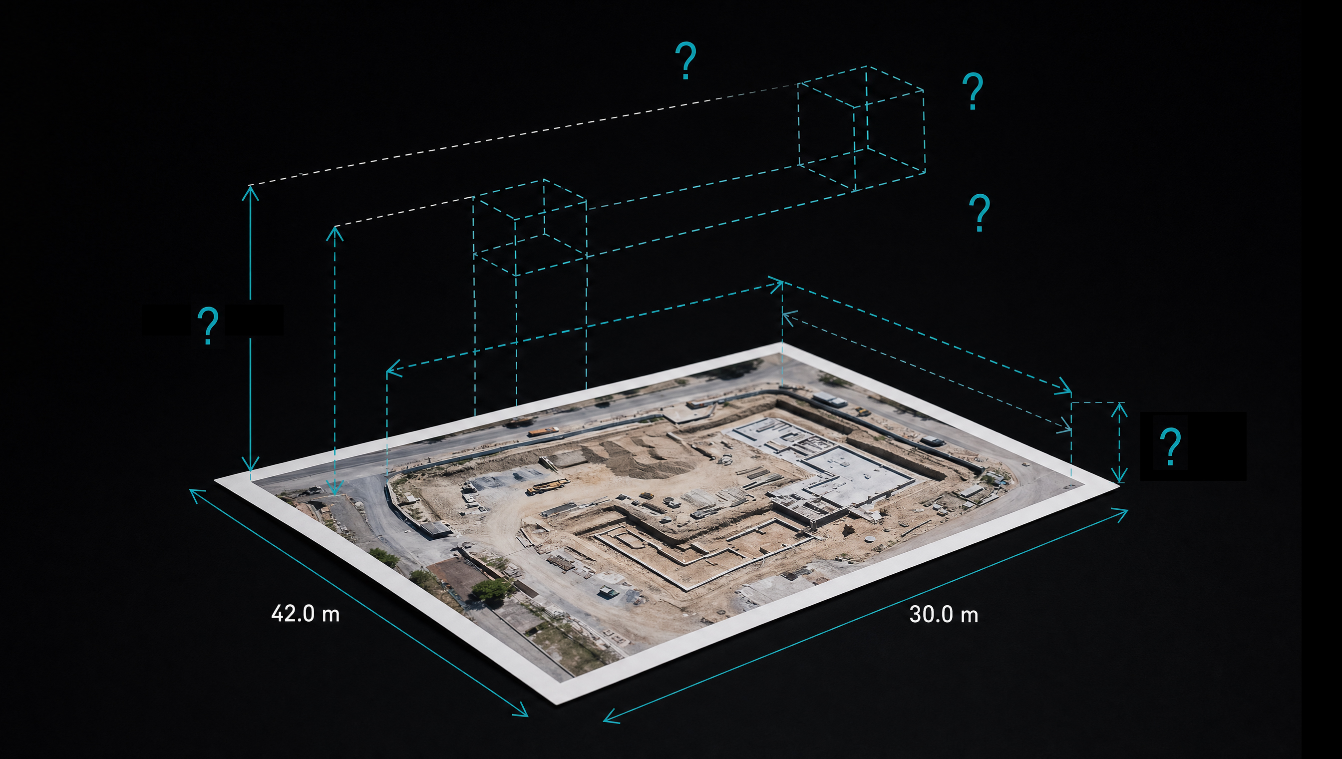
Required accuracy, data volume, sensor configuration, and operating conditions differ from site to site. To serve surveying and precision analysis, 3D must hold consistent accuracy across those conditions.
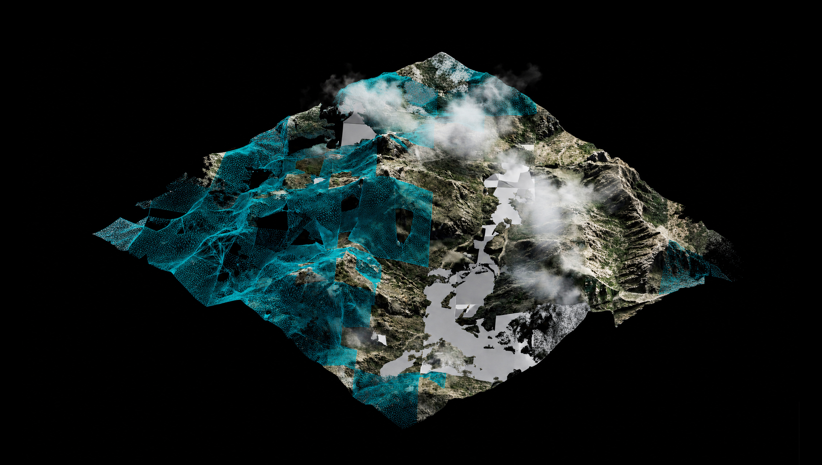
Where imagery is sparse or repeat capture is not feasible, gaps appear in the spatial record. Even then, key structures must be generated and filled in to produce a usable 3D space.
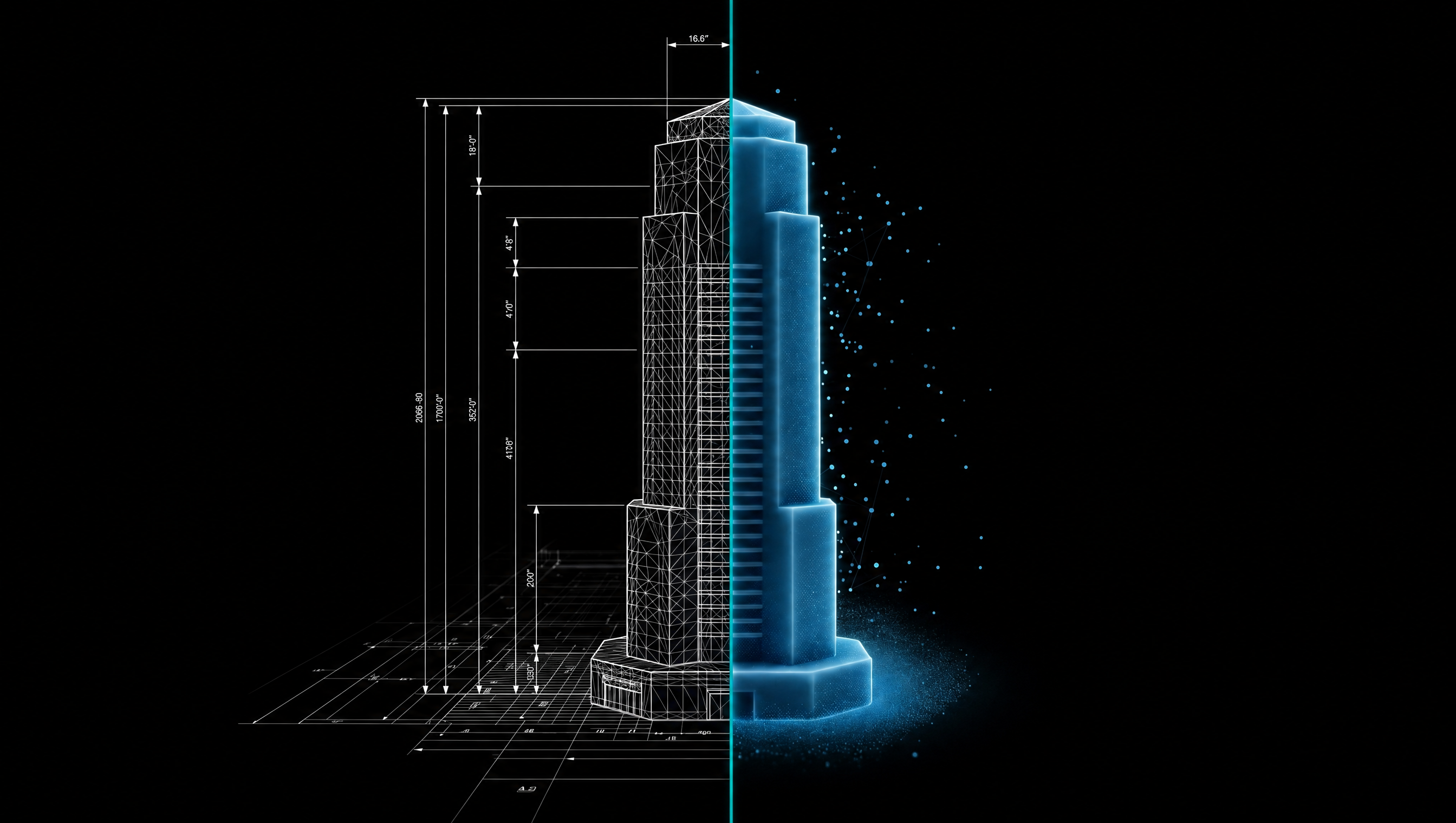
Precise 3D Modeling for sites that require survey-grade measurement and quantitative analysis; Reality Synthesis 3D Modeling for sites with limited data or a need for rapid reconstruction.
3D reconstruction at metric accuracy, ready for surveying and analysis
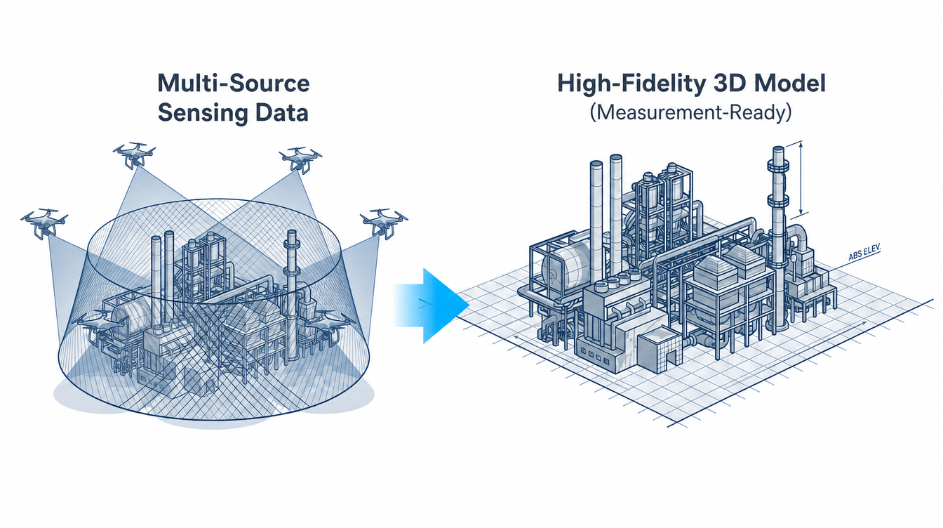
Robust 3D reconstruction even from incomplete, low-density data
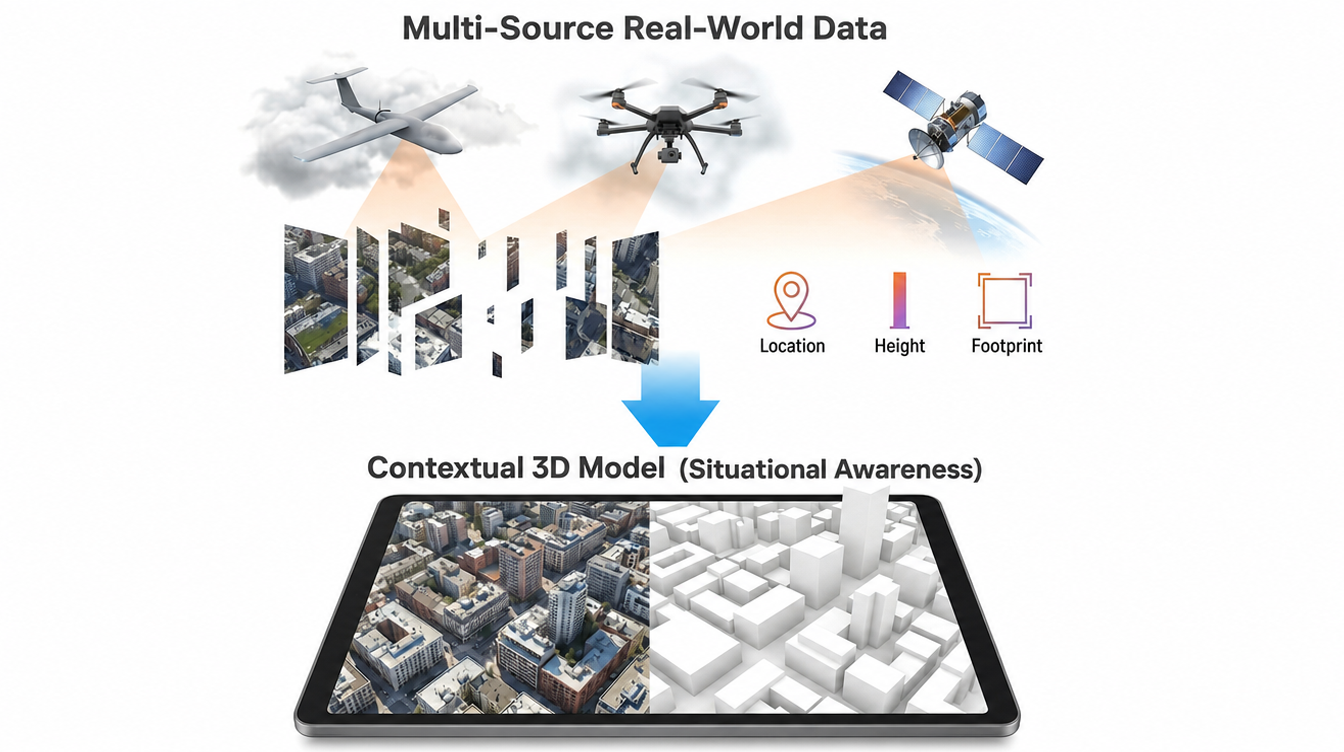
Explore Meissa Reality Capture — precision reconstruction plus AI-driven generation and gap-filling.