

Meissa
Video Analysis AI interprets satellite, aerial, and drone imagery to recognize objects and detect change. It fuses different sensor types and learns fast, even from limited data.
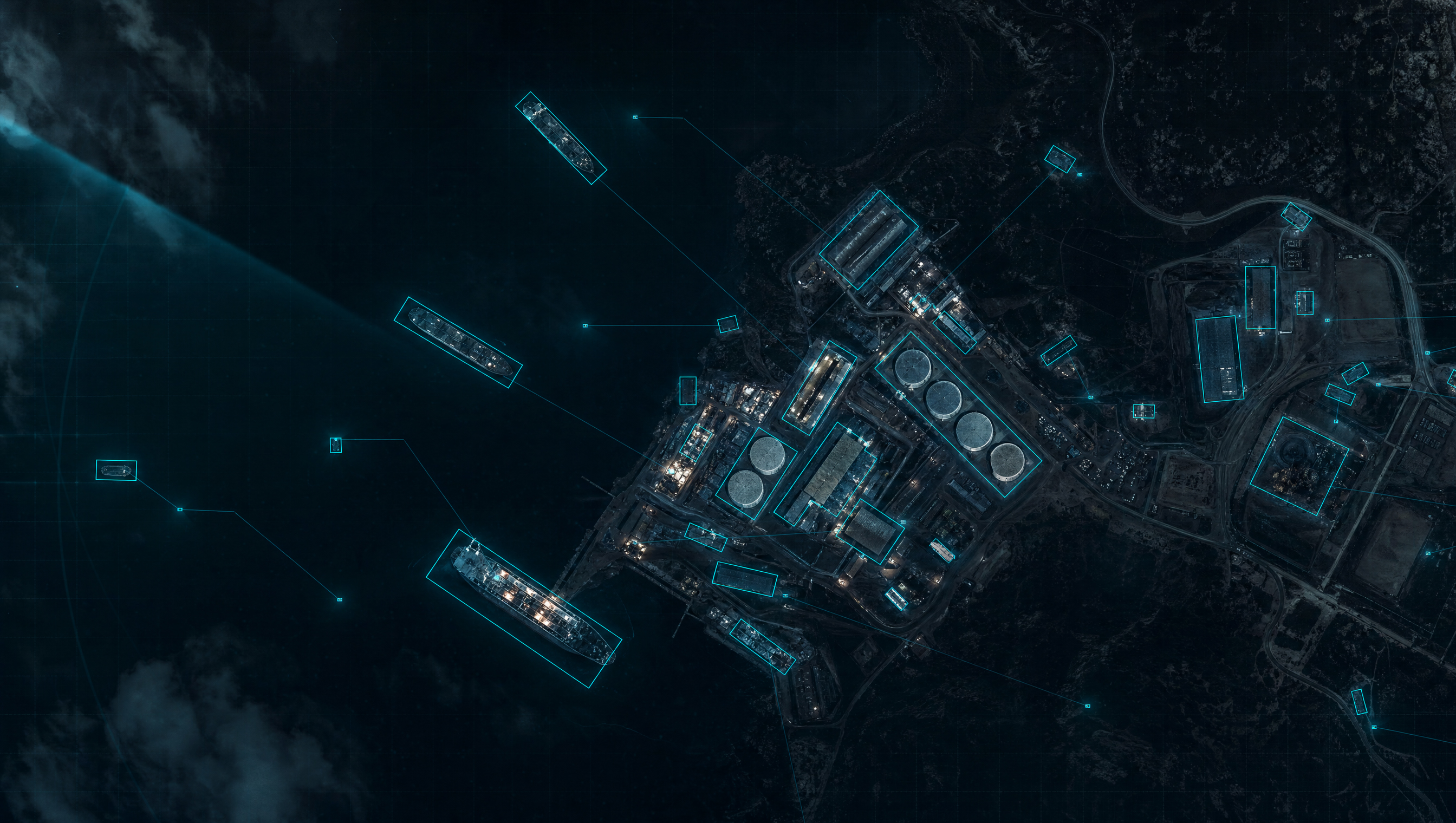
Overhead imagery is demanding, every sensor sees differently, and training data is scarce. Real-world video analysis AI has to clear all three walls.
Seen from above, object scale varies wildly, and altitude and atmosphere introduce large errors. AI built for ground-level photos doesn't transfer.
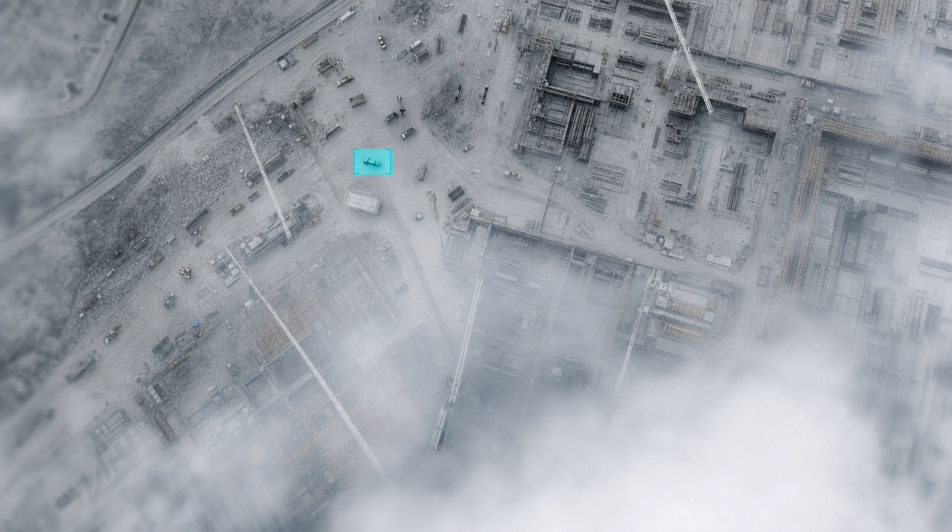
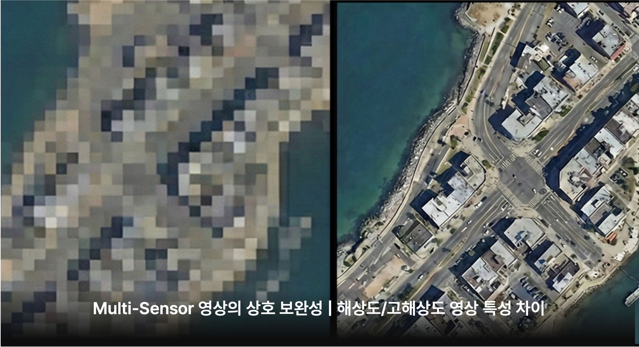
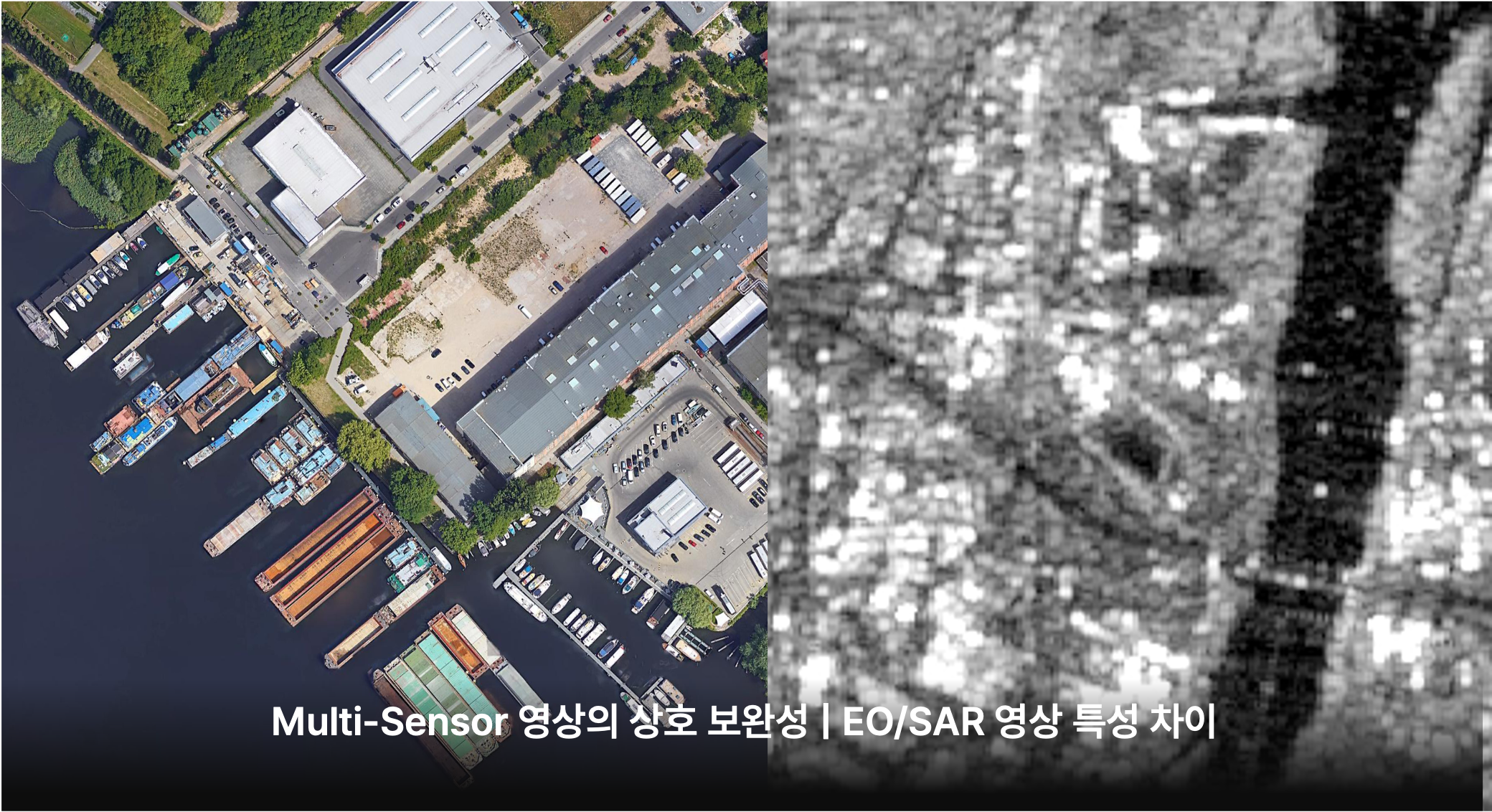
Optical cameras and radar, low and high resolution — each has its own characteristics. Fused well, they cover each other's blind spots and get far more accurate.
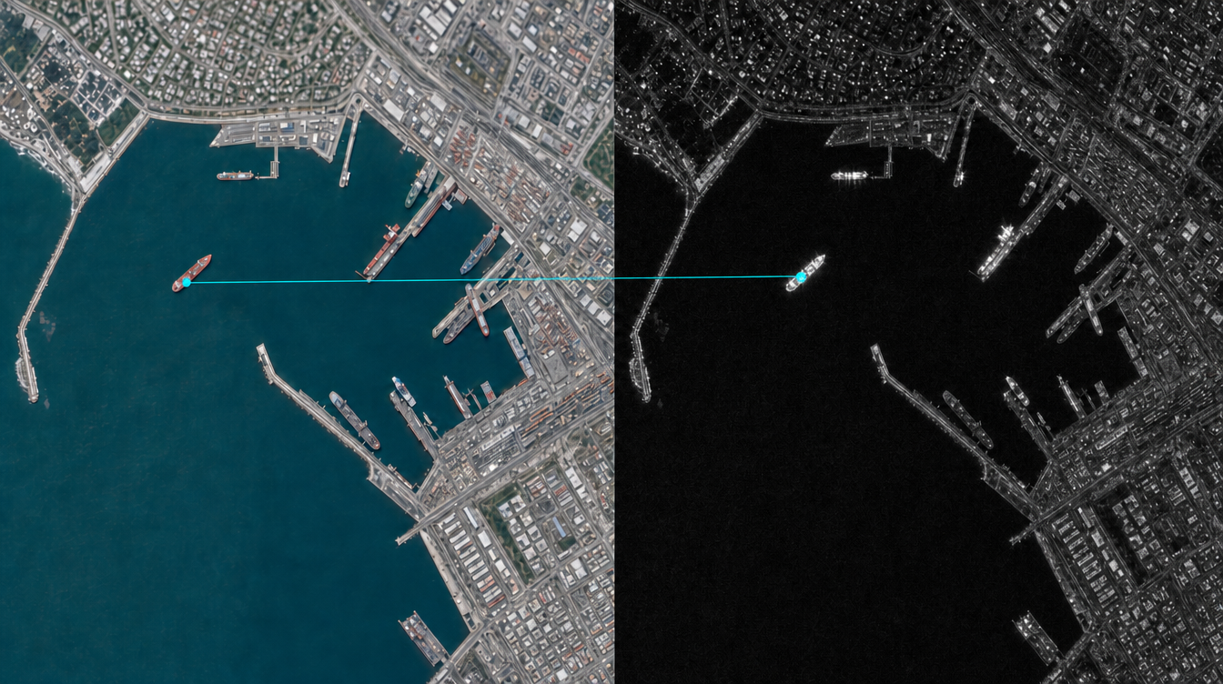
Well-curated training data barely exists in the field. You need AI that learns fast from very little.
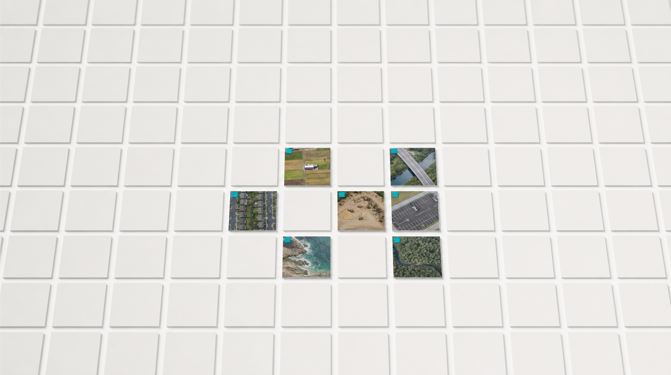
One accurately analyzes diverse overhead imagery; the other learns fast from limited data.
Accurate analysis across diverse overhead imagery


AI that learns fast from limited data
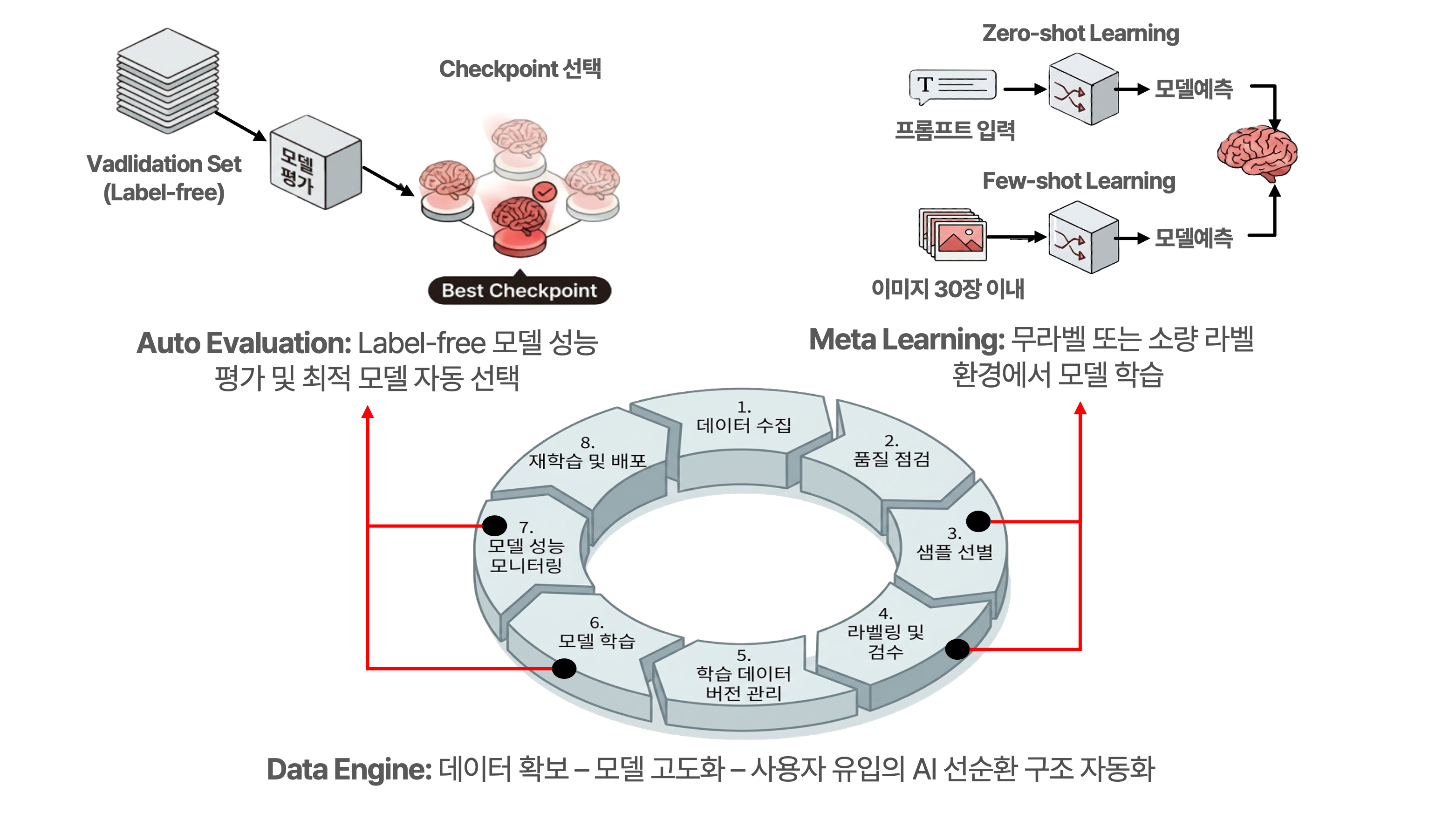
See how Meissa Video Analysis AI overcomes demanding field data.