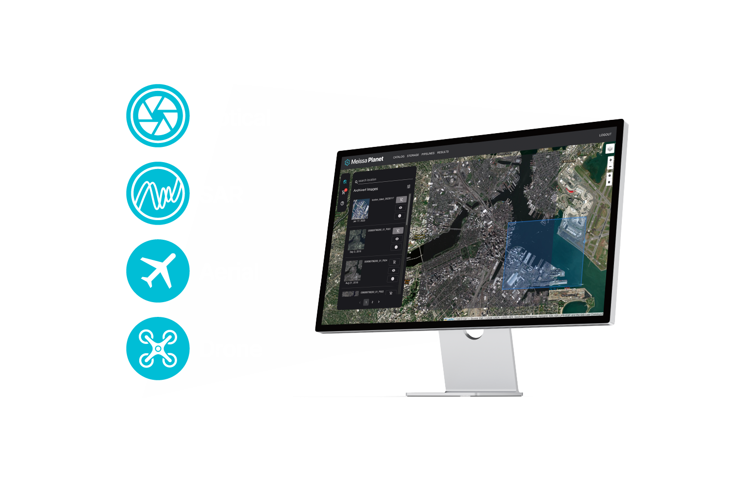
About Meissa Planet
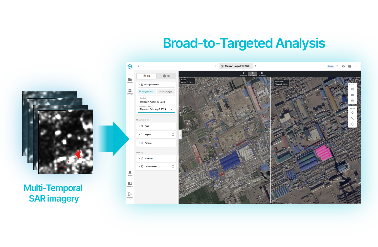
We utilize multi-layered geospatial information, including satellite and drone data, to provide actionable insights ranging from broad regions to specific areas.
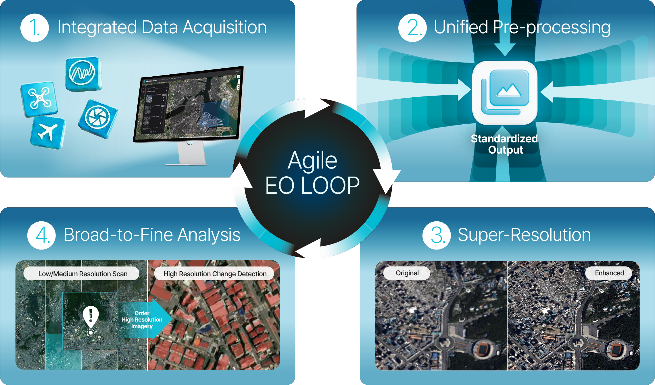
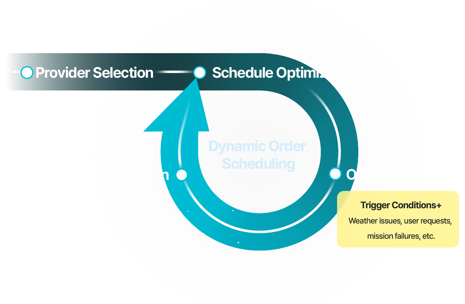
We provide the experience of seamlessly securing multiple data sources on a single platform.
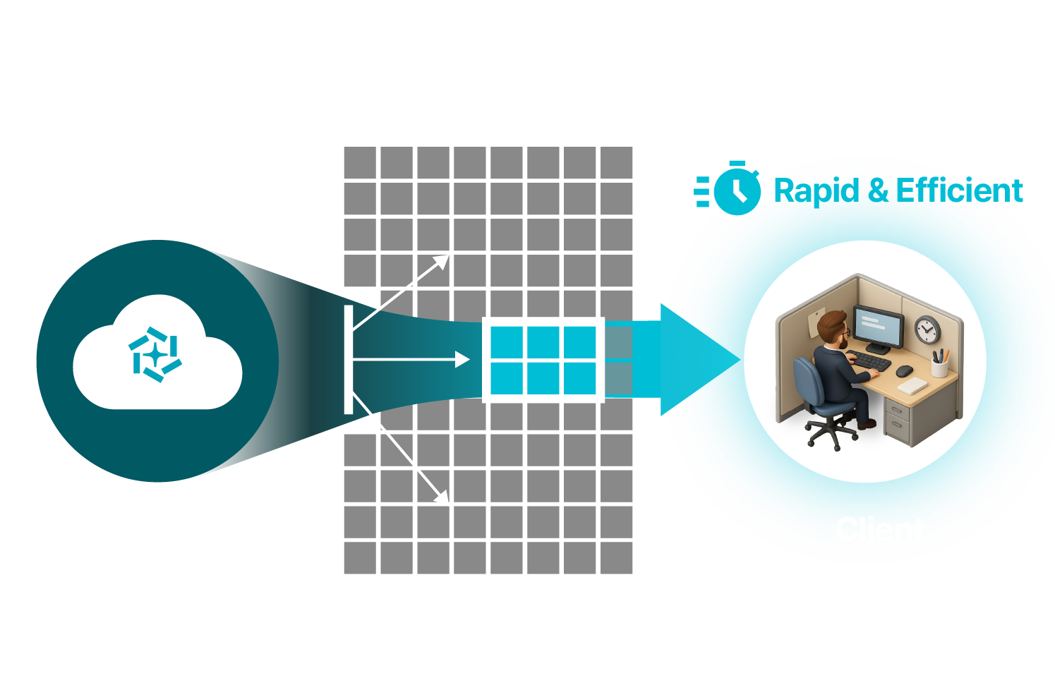
We deliver an optimized user experience even in web-based environments.
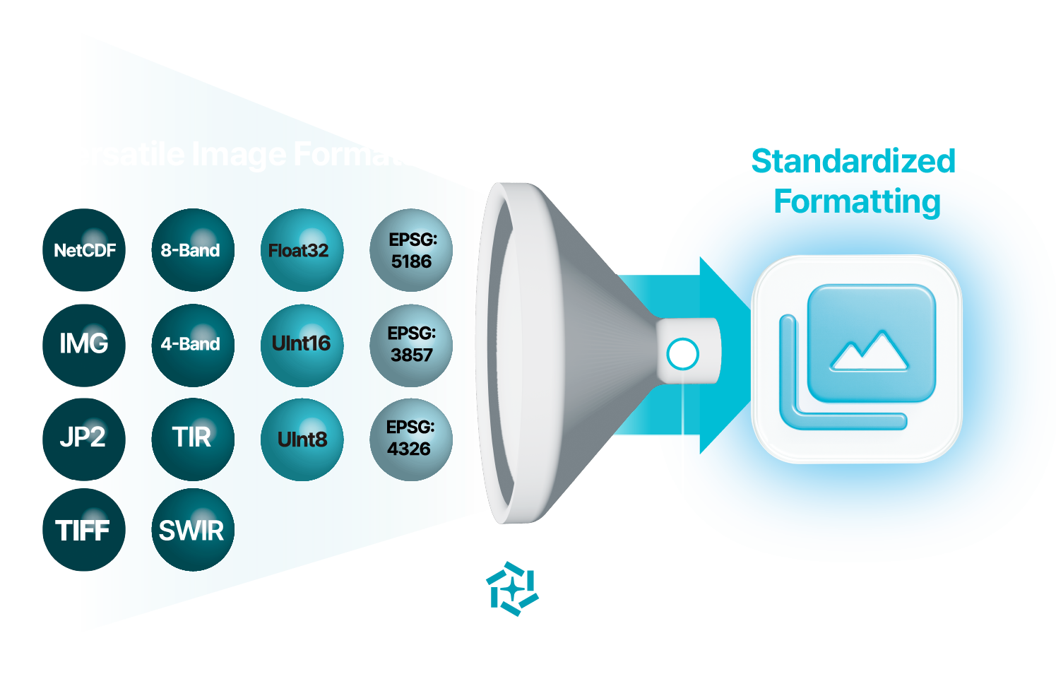
AI-based Super Resolution generates sharp imagery within seconds, supporting accurate interpretation of visual data.
We fuse low-resolution and high-resolution imagery to detect anomalies quickly and accurately.
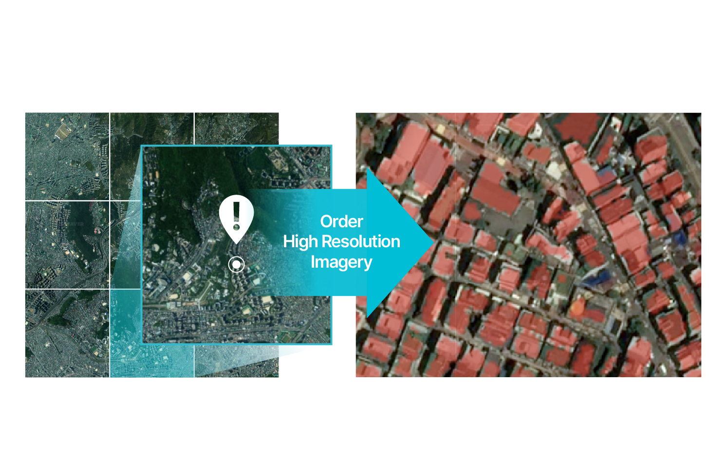
Detect regional changes based on high-frequency, low-resolution imagery, and support detailed change analysis based on low-frequency, high-resolution imagery.
1. Detect change areas based on low-resolution imagery → 2. Order high-resolution imagery when change thresholds are exceeded → 3. Conduct detailed analysis based on high-resolution imagery.