

Defense & Security
Instantly obtain enhanced, high-resolution satellite imagery within seconds by simply designating your Area of Interest (AOI).
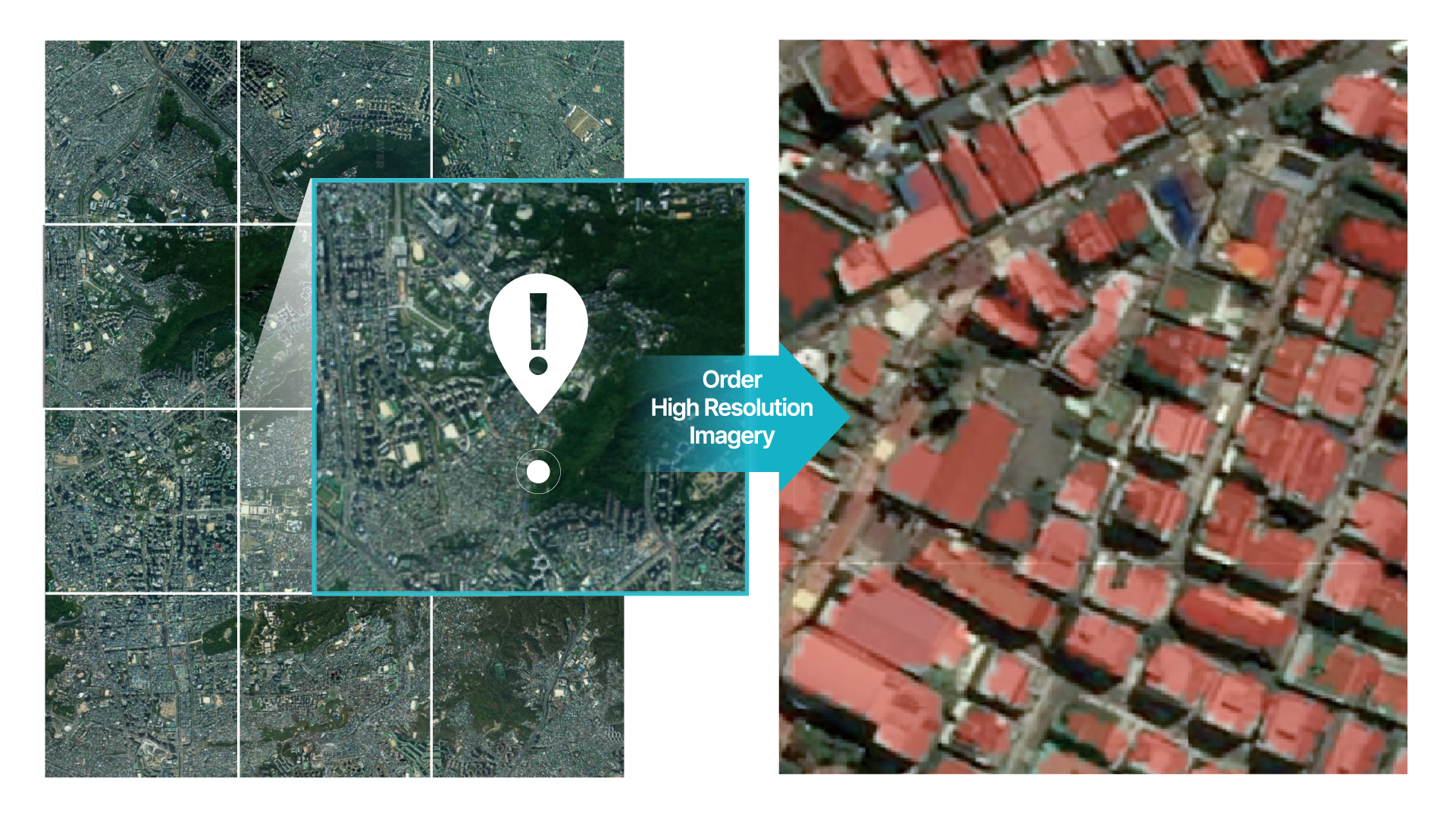
Rapidly detect anomalies in vast areas using low-resolution satellite imagery, then pinpoint detailed changes with high-resolution imagery for precision analysis.
Quickly generate rough 3D terrain and structural models of inaccessible areas using only a sparse set of satellite images.

