
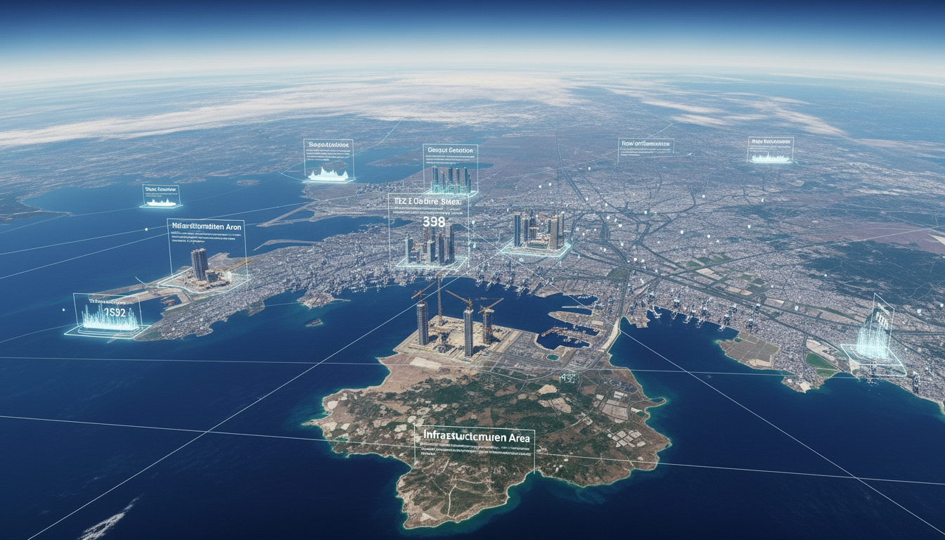
Construction & Infrastructure
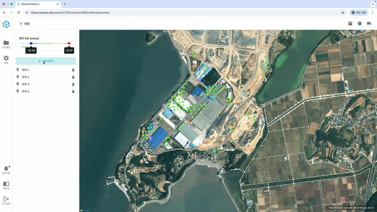
Utilizing SAR (Synthetic Aperture Radar) satellite imagery, we can estimate potential ground subsidence in high-risk areas—such as reclaimed land or soft ground where critical infrastructure is located—without the need for ground-based surveying.
Detect overall changes in massive infrastructure projects using low-resolution satellite imagery, and identify detailed progress specifics using high-resolution imagery.
By fusing satellite imagery from various sensors, we systematically analyze long-term environmental changes surrounding construction sites, such as land degradation and vegetation loss.


