
August 2026 · 7 min read
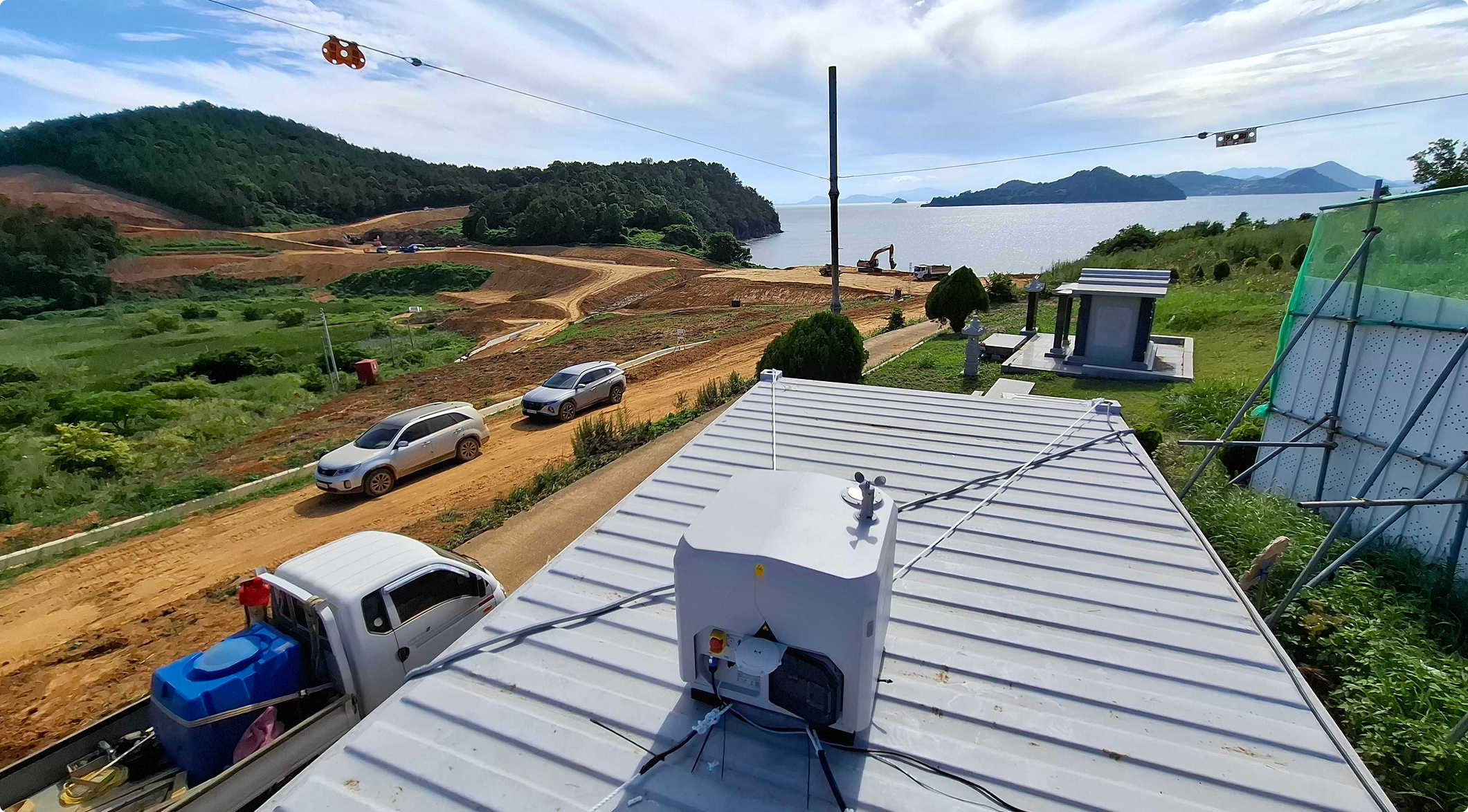
Monday morning, you scan an offshore site that takes two hours to reach and return from by boat, right from the office. The day's work begins only after you confirm that nothing changed over the weekend.
Five years ago, that scene would not have been possible. Back then, a drone could fly only within the range the operator could see with the naked eye. Over the past five years, the way construction sites collect data has moved past the limits of both regulation and equipment, and the question on site is now shifting elsewhere.
At the time, two things stood in the way of data collection on construction sites.
The first was regulation. The rules of conduct for unmanned aerial vehicle operators include the item “no flight when the operator cannot directly see the aircraft with the naked eye.” In other words, visual flight is the principle. To fly at night or beyond the range you can confirm visually, you had to obtain a separate special flight approval and could fly only within the scope of that approval. As a result, construction and civil engineering sites with large footprints could not capture the whole area at once and had to split it into separate flight zones.
The second was a physical limit. Industrial drones at the time flew for about 40 minutes. Someone had to go out to the site to launch the drone, swap batteries, and retrieve it afterward. Software that automatically designed flight paths and captured imagery already existed, but the conditions were not there to push automation all the way.
So this became a national demonstration project. In May 2021, the Ministry of Land, Infrastructure and Transport selected 10 drone demonstration cities and 13 drone regulatory sandbox companies. The selected companies could run demonstrations without the regulatory burden of flight approvals and safety certification, and one of those projects was ‘construction site progress management.’
Meissa formed a consortium with an unmanned station company and carried out the demonstration from May to November that year. At one building site and one civil engineering site of a major Korean construction firm, we validated a setup in which a flight schedule entered into a hangar-type station had the drone take off automatically, capture imagery, return and charge on its own, and transmit the data to the platform. Seen today, it is a very familiar flow.
Five years on, equipment performance is not the only thing that has changed. The data collection capability of the site itself is different.
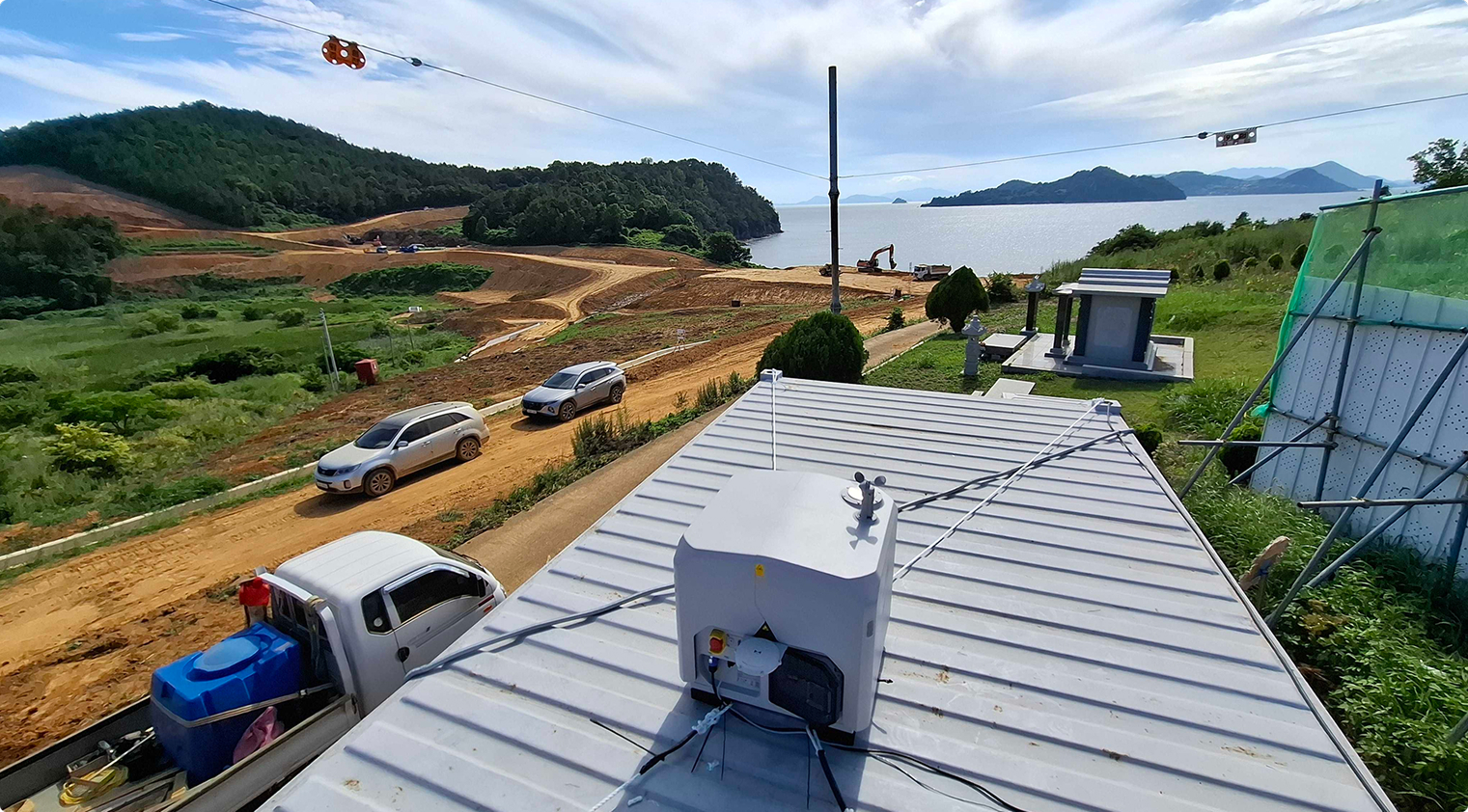
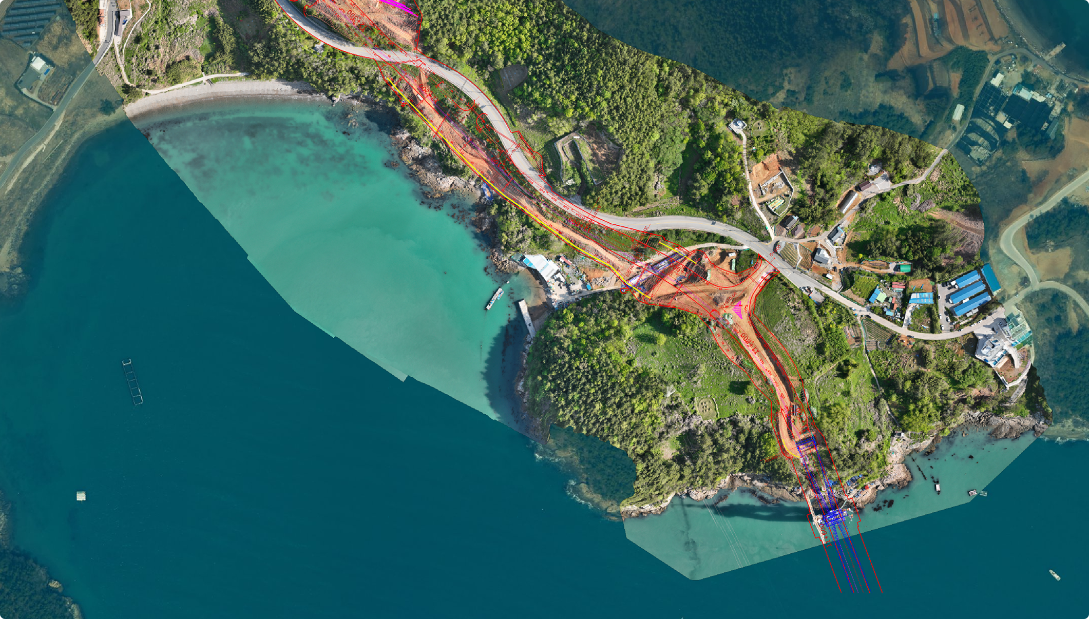
The Kolon Global Yeosu Hwatae–Baekya site, which we introduced as a customer case, is an offshore site made up of 3 islands and 4 bridges with a total length of 6.9 km. A single round trip by boat alone takes an hour and a half to two hours. In the days of piloted drones, communications would drop while crossing between islands, and crews had to carry three or four batteries.
Now that a drone station is in place, setting the flight path from the office captures the entire alignment automatically. Flying the drone three or four times a day has become routine, and on Monday mornings work starts after scanning the whole site for anything that changed over the weekend. As the point person on each office team learned to handle everything from takeoff to return, a group chat even sprang up to set the flight order.
Narrow the Capture Interval and Change Becomes Visible
Each dot is one day. A filled dot is a day with a site record.
2021 · Piloted drones — 1~2 times a month, a cross-section at each point in time
2026 · Drone station — 1~3 times a day, a continuous record
The top leaves a cross-section at each point in time; the bottom leaves the difference between yesterday and today.
The core of the change is that a site once checked with one or two snapshots a month can now be seen as a continuous daily record. What changed between yesterday and today remains as data. If the question of the demonstration five years ago was ‘can data be acquired unmanned,’ the question on site now has moved here: ‘How far into our work, and in what way, can we use the data we obtain this way?’
Automated collection based on drone stations is not an experiment limited to a few leading sites.
Shinsegae E&C is adopting the Meissa Platform at every site nationwide while also pursuing operational automation based on autonomous drone stations. This is not a pilot at a single site but a company-wide shift at the headquarters level. Kolon Global has been an early adopter of drone stations at offshore island sites that are hard to reach.
The range of use is widening as well. HDC Hyundai Development adopted a drone platform at all of its sites in 2025, and at the Busong IPARK site in Iksan, North Jeolla Province, drones detect whether workers are wearing hard hats and using their safety hooks. It is a case where use that began with surveying and progress management has carried through to safety management.
Drone Adoption Generally Follows This Order
It starts with validation at individual sites, becomes a company-wide standard, and then expands in scope of use.
01
Validation at individual sites
Drone use is tested first at a few sites
02
Integrated management at headquarters
Headquarters consolidates contracts and operating standards and extends them to every site
03
Expanding the scope of use
Extends from surveying and progress management to safety management
Once you identify which stage your site is at, what to add next becomes clear.
The institutional framework is moving in the same direction. Under the 2024 revision of the public notice, the rate at which the purchase and rental costs of smart safety equipment may be counted toward occupational safety and health management costs expanded in stages to 70% in 2025 and 100% in 2026 (capped at 20% of the total occupational safety and health management costs). The Ministry of Land, Infrastructure and Transport and the Korea Institute of Civil Engineering and Building Technology selected 10 technology demonstration support projects under the Smart Construction Alliance and 12 strong small and medium-sized companies, which are running demonstrations at actual sites for about six months in the second half of the year, and the support cap per company was raised from 15 million won to 25 million won.
As data collection gets easier and more frequent, where does it flow next? The answer being discussed now is Physical AI. Not AI that produces answers only on a screen, but AI that perceives physical space directly, moves within it, and carries out actions.
Once this becomes possible, work processes on site change. If what drone stations have done so far was ‘capture at a set time and send,’ from here on AI will recognize an anomaly during capture and issue a warning or connect it to immediate action. The time people spent checking and judging after receiving the data shrinks.
What Comes After Collection Is Judgment
The stretch where people judged after receiving the data moves into the site.
Now
Time is spent in the dotted stretch in the middle.
Next
The shorter the judgment stretch between capture and action, the sooner the site learns what is happening.
Policy moved five years ago to make data collection possible, and today's automated collection took hold as a result. Now the groundwork is being laid for the next leap. The Ministry of Land, Infrastructure and Transport is conducting a technology demand survey for a new Physical AI support program for 2027, and this year it began application at actual sites through the ‘Rapid Commercialization Support Program for AI Applied Products (AX Sprint).’ Meissa was selected as the lead organization for the land and transport field of this program and, together with Hyundai E&C, is developing a construction progress and safety management AI platform that does not stop at detection but carries through to action.
Five years ago, the drone station was a blueprint that had to be validated as a national demonstration project. Today it is an everyday routine that runs each morning at construction sites across the country. So what will the technology now in the demonstration stage look like five years from now? What is clear is that all of that change happens on top of data.
That said, even when automated collection becomes the standard, it is hard to move on to judgment if the material is scattered across individual PCs and messenger apps. When drone photos, CCTV, drawings, and mobile photos pile up in separate places, you cannot pull up on one screen what happened at that location at 2 p.m. yesterday.
So what to review now is not the equipment you will add next, but the material already piling up. How often it comes in, how far into your work it is used, and how many minutes it takes to pull up when you need it. Checking just these three shows where your site stands.
We turned that review into 10 questions, and laid out the order for bringing scattered material onto one screen in 3 steps.

