Progress & Quantity Tracking
Drones capture automatically and AI analyzes instantly. Compare design and as-built quantities in real time, and eliminate the grounds for progress payment disputes at the source.
10 Minutes
Earthwork calculations that took days
Unmanned
Automated flights with no dedicated crew
Zero Disputes
Settlements backed by objective data
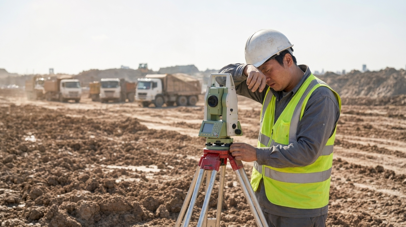
BEFORE
Total station surveys and data post-processing consume enormous time, and estimates based on dump truck counts lead to disputes.
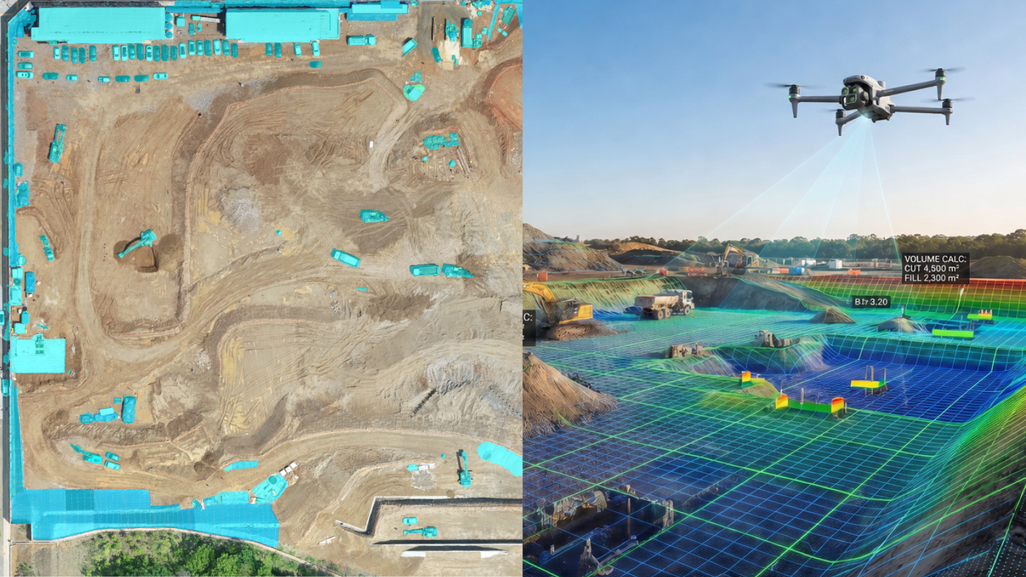
AFTER
AI automatically detects and removes unwanted objects, while GCP correction keeps deviation from ground-truth measurements to a minimum.
From drone scans to settlement reports — everything runs automatically, with no manual work in between.
Automated Capture
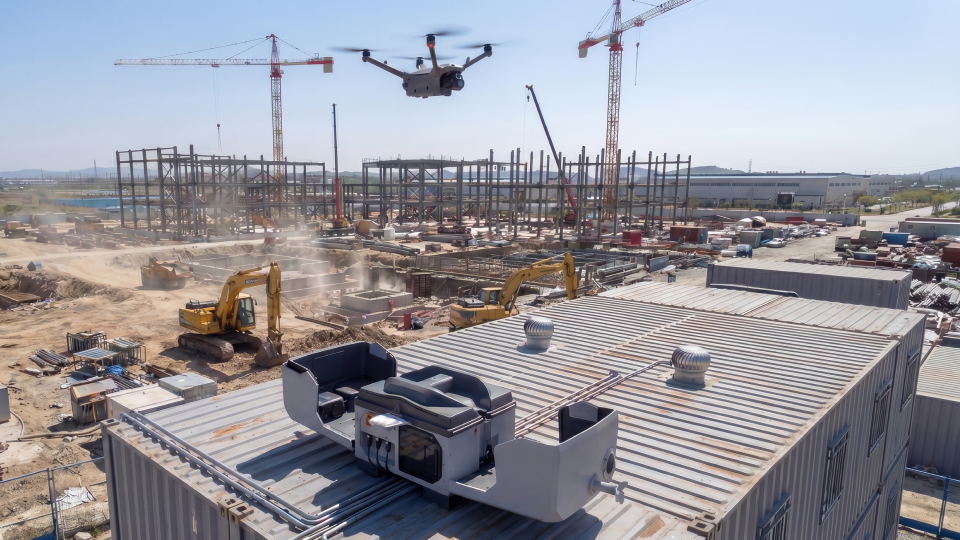
✓ Uniform-quality site records, 365 days a year
✓ Zero cost for drone pilots or training
✓ The latest site conditions in a single click
Progress Visibility
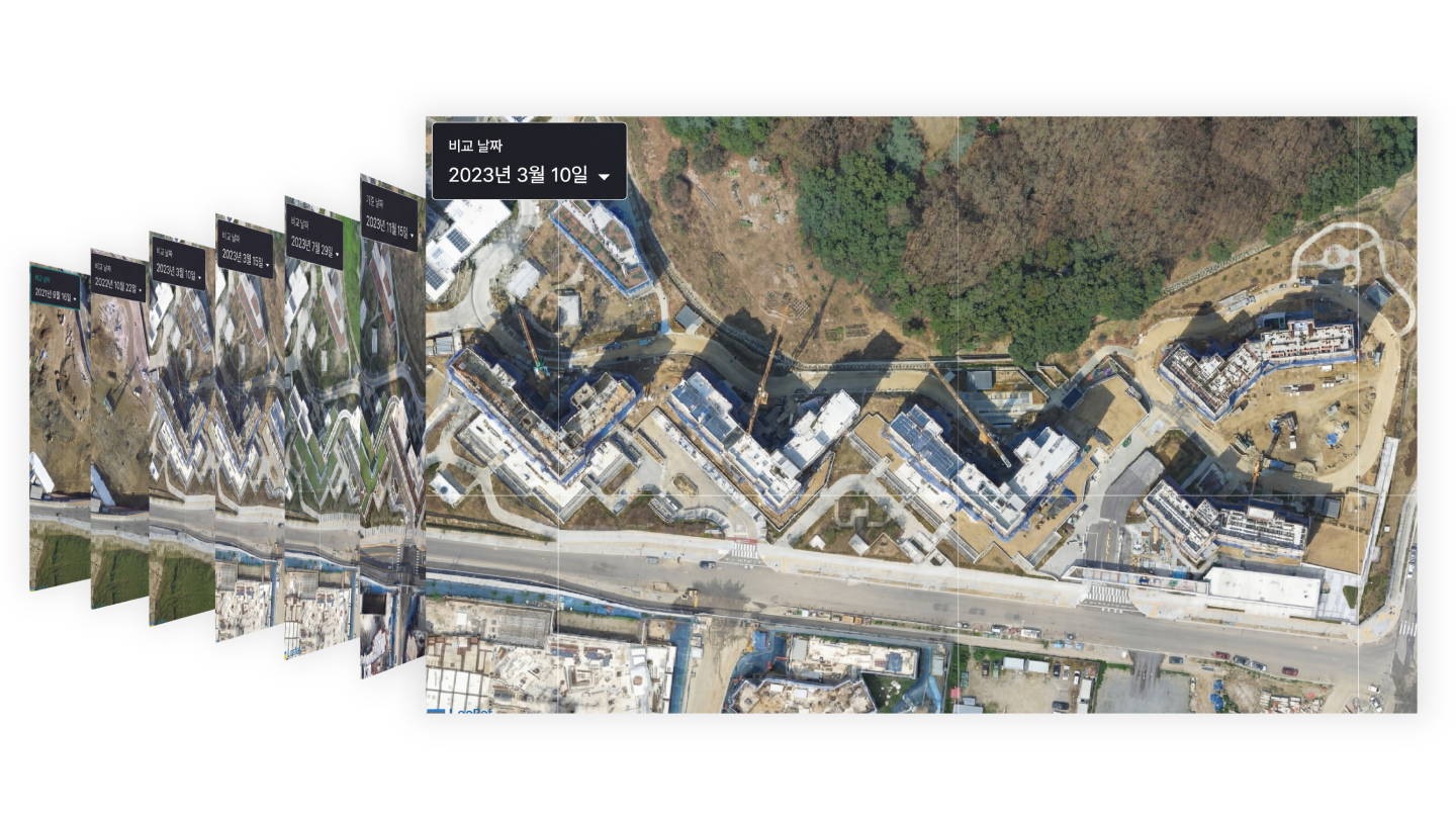
✓ HQ, field teams, and subcontractors share the same spatial data
✓ Identify delayed sections early
✓ Faster decisions with data-driven progress meetings
Quantity Precision
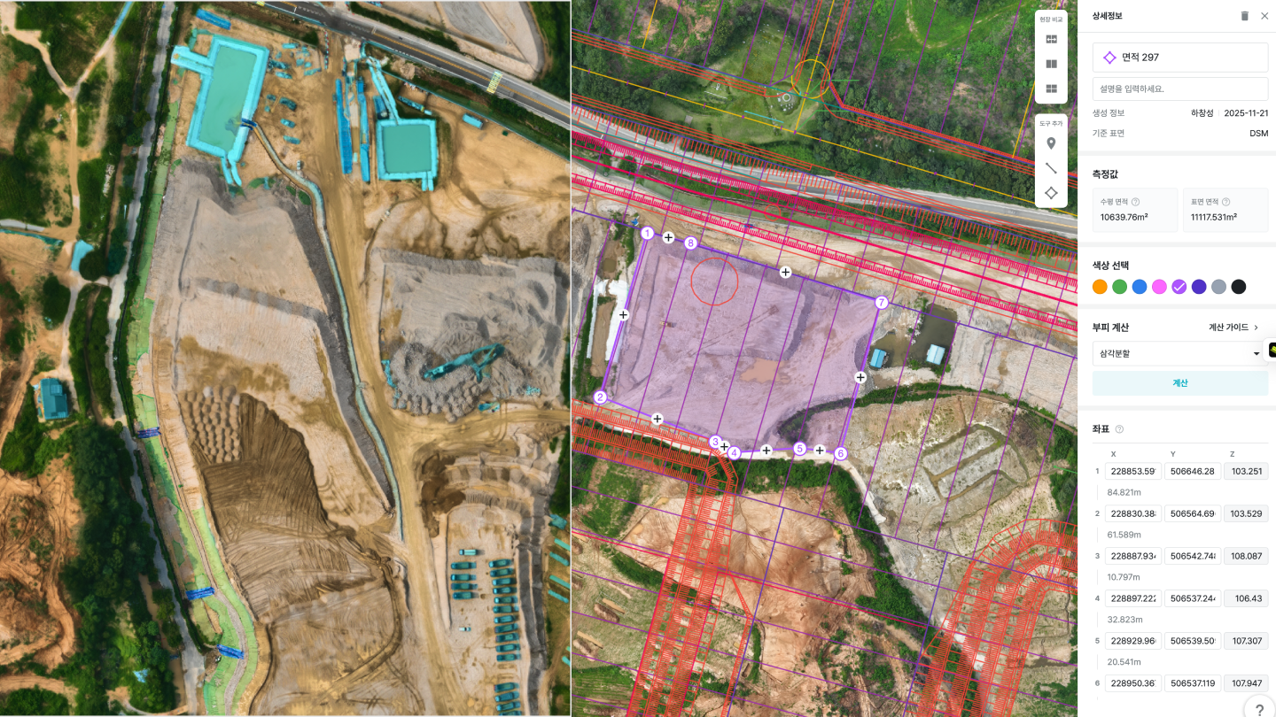
✓ AI detects and removes vegetation, equipment, and more — analyzing bare terrain only
✓ Cut/fill analysis with cm-level accuracy
✓ Objective data to back every progress payment
Audit-Ready Records
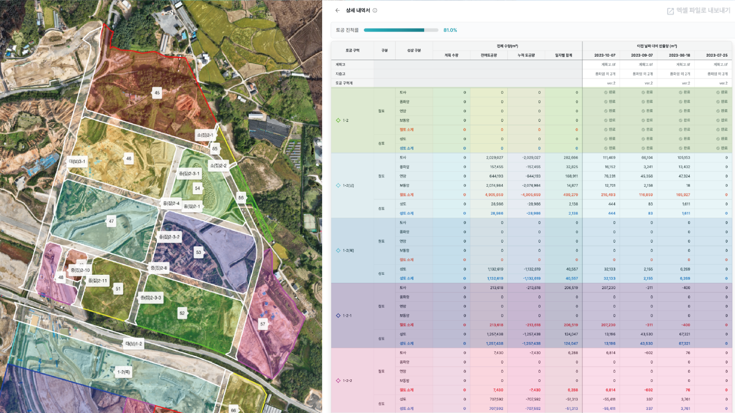
✓ Automatic daily and per-section earthwork tallies
✓ Instant evidence exports to Excel/PDF
✓ Eliminates grounds for owner–contractor disputes
See how Meissa transforms construction sites through our customers' stories.


“
Since adopting Meissa, earthwork volume calculations that used to take over 10 hours now take just 10 minutes from capture to results, and prep time for daily progress meetings has dropped dramatically.
DL E&C Convergence Technology Team · Standardized across all 70 sites
We'll assess your site's scale and earthwork type, and design the right quantity management plan together.