“KCC Construction has optimized civil engineering site management with Meissa.”
Civil engineering projects are large in scale and highly complex. Accurate and timely understanding of site conditions is essential for quantity calculation, planning, site management, and collaboration with partners. However, challenging terrain, constant changes, and the sheer size of projects make precise site management difficult.
To address these challenges, KCC Construction introduced Meissa. By viewing site conditions at real scale and at a glance, overall control and management of the site have been strengthened. This has significantly improved management accuracy and enabled clear visualization of project progress, providing a solid foundation for efficient collaboration among all stakeholders.
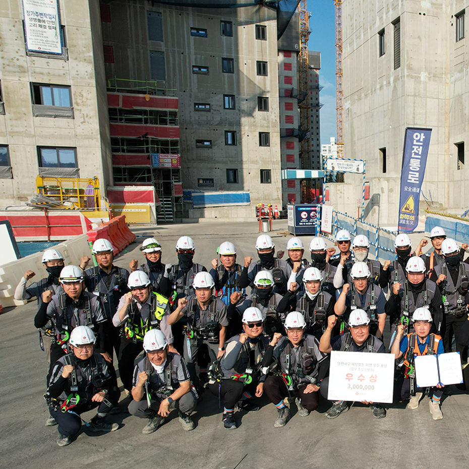
In an on-site interview at KCC Construction’s Sejong–Anseong Expressway Section 5 project, the team shared how Meissa has helped maximize site management efficiency.
Q. Please give us a brief introduction.
My name is Jaeseong Lee, and I am a construction team leader at KCC Construction’s Sejong–Anseong Expressway Section 5 project. Construction began in December 2019, and the project spans 5.62 km, including one tunnel and 23 bridges. Full-scale construction started in 2022, and upon completion, the expressway will connect Sejong, Anseong, Yongin, Guri, and Pocheon. Meissa has been used since the early stages of construction and continues to be actively utilized today.
Quantity calculation : An unshakable foundation for earthworks,
Q. How did you come to use Meissa?
After KCC Construction's Smart Construction team reviewed various options to improve survey work efficiency and modern site management, they signed an MOU with Meissa, a drone-based spatial information platform, and as a result, Meissa was also used on site.
It was unfamiliar at first, but now I think it is a great companion for work. Before the introduction of Meissa, it was natural to conduct surveys according to the existing calculation period and create a volume chart through cross-sectional drawings and quantity calculations for each chain.
With Meissa, quantity calculations have become both more precise and significantly faster. Previously, calculating earthwork volumes for large sections required substantial time from surveying to final calculation. Using Meissa, the necessary data can be quickly obtained through line tools applied to drone-generated data, greatly improving overall work efficiency.
Q. So, is there a reason why Meissa should continue to be the company for volume calculations?
Speaking from the perspective of those who use the platform, the first reason could be that it is convenient. Meissa goes beyond simply being a software that provides drone data, and provides functions that are deeply customized for construction sites and earthworks.
Meissa’s earthwork transect line function is a clear example of this efficiency. While 3D volume calculations are important, cross-sectional drawings are still required for validation and collaboration with partners. Meissa enables both results and cross sections to be generated easily. By uploading an Excel file with start and end points, cross sections are automatically created for each station and can be downloaded as CAD files. This significantly reduces mandatory manual work, and there are high expectations for further functional expansion beyond volume calculation.
From construction planning to site management
Q. How is Meissa used in the planning stage?
By leveraging real-time site data, informed and timely decisions can be made.
In civil engineering projects with large sites and extensive sites, establishing a clear construction plan can be seen as an essential element for project success. Determine the overall direction of the project and set the details of each task. Therefore, it is most important to accurately understand the situation on site and establish an efficient plan. I think the specific use can be explained by dividing it into the early and mid-term stages.
In the early-long period, when the form of the land is not revealed, it is difficult to determine the current status because the initial compensation for the start of construction is not completed or the original land condition is maintained. At this time, using Meissa, you can use the latest orthoimagery and drawing overlay functions to quickly understand the actual status of the site and clarify construction boundaries, making it easier to plan vehicle routes. You can also communicate smoothly with stakeholders by creating a visually easy-to-read map and clarifying the compensation progress, incorporated land, and remaining land.

In our field, we use Meissa the most in the mid-season. The easier it is to identify the site that changes as construction progresses, the more helpful it is in planning.
In the case of establishing an earthwork transportation plan, distributed transportation must be carried out in several locations, so the average transportation distance must be calculated. To make this calculation, we need to know how much cutting soil we will be doing in this area and how many kilometers we will be transporting it to. In this case, Meissa is especially useful.
The same goes for preparing complaints measures. If you check in advance the section and reason for the complaint through Meissa, the process of responding to the complaint will proceed very quickly. Not only is it convenient to establish action plans, but it also enables high-quality response.
Q. How is Meissa used in field management?
It is largely used for process management and environmental management. It is especially used most often in the process management stage. As I mentioned earlier, the quantity calculation is a step that is widely used.
Before the introduction of Meissa, process management was a very complicated and time-consuming task. The site is too large to properly apply traditional surveying methods. With the introduction of Meissa, we have effectively tracked the plan established based on quantity calculation by utilizing the volume sheet function, and have objectively identified the progress of each zone, significantly shortening the process rate calculation time.
This is also convenient in terms of existing management. Work is carried out by checking the overall status rather than a local section, and orthophotos and drawings are matched to check the location of the structure and any interference. Because decisions and communication are made by understanding the entire site at a glance, the platform itself serves as a basis for making accurate decisions.

In environmental management, it is mainly used when waste is generated, such as when demolishing a building. We order separately, so waste disposal is handled through the ordering company. If there is no prior action from the ordering party, it will have to continue to pile up where it is. In that case, through drone data, we can quickly identify where unprocessed waste is.
Even when a request for removal of waste piled up in a place outside of our jurisdiction is received, we can easily reject it using previously captured and stored data. Even the sections I didn't see before are all filmed and saved.
What is project simplification? Watching together and speaking together
Q. I heard that various partners all communicate through a platform called Meissa. What is the reason?
I would say it is because this platform enables complex site management and efficient communication in civil engineering construction. To be honest, I found it a bit frustrating. It is convenient to see the same thing and communicate right away, but in the early stages of construction, we were the only ones using Meissa. As a result, “I think this problem has occurred at several stations on Ramp A. Please check.” If you do this, your partner companies will have to go to the site... . This situation happened repeatedly.I found out that I could share the project status by simply inviting people involved in the Meissa project via email, so I invited them. Now, even on the same landline, “Meissa, why don’t you open the file for a few days?” “Yes, I confirmed.” This is the way it is done. The time and effort required to organize projects has been greatly simplified by being able to effectively share opinions on waste disposal and cut-fill work for each area. Of course, there are still some things that must be viewed offline, but mutual judgment can be made without going to the site. Wherever possible, we are handling matters through Meissa.

KCC Construction and Meissa: Smart Construction of the Future Together
Q. What more would you like to do with Meissa in the future?
I would like to discuss together whether there is a way to incorporate Meissa's construction-friendly technology into 3D and utilize it better in actual sites. I heard that there will soon be an update to the ability to simulate actual-sized heavy equipment in 3D.
When showing future situations, such as work plan examples, the easier it is to visually understand, the better it is to explain. Currently, we are using a method of compositing and expressing models on a 2D map when heavy equipment such as cranes are brought in. If the aforementioned function is updated, we will be able to show the work plan more clearly.
We will raise our voices in the field as well, so we will continue to do so as we do now. I hope that some actually useful features will be added.