“Obayashi Corporation uses Meissa for visual site management and earthwork tracking.”
Obayashi Corporation is utilizing the Meissa platform at large-scale construction sites, including factory developments with extensive land areas. The primary purpose is to visualize site conditions through orthophotos and enable accurate, efficient information sharing among all stakeholders.
In particular, during the early excavation phase, Meissa is effectively used for daily progress tracking and earthwork volume estimation.
Under the slogan “MAKE BEYOND,” Obayashi Corporation continues to lead architectural and civil engineering projects both in Japan and globally. Below, we explore how Meissa is being applied on-site by one of Japan’s leading general contractors.

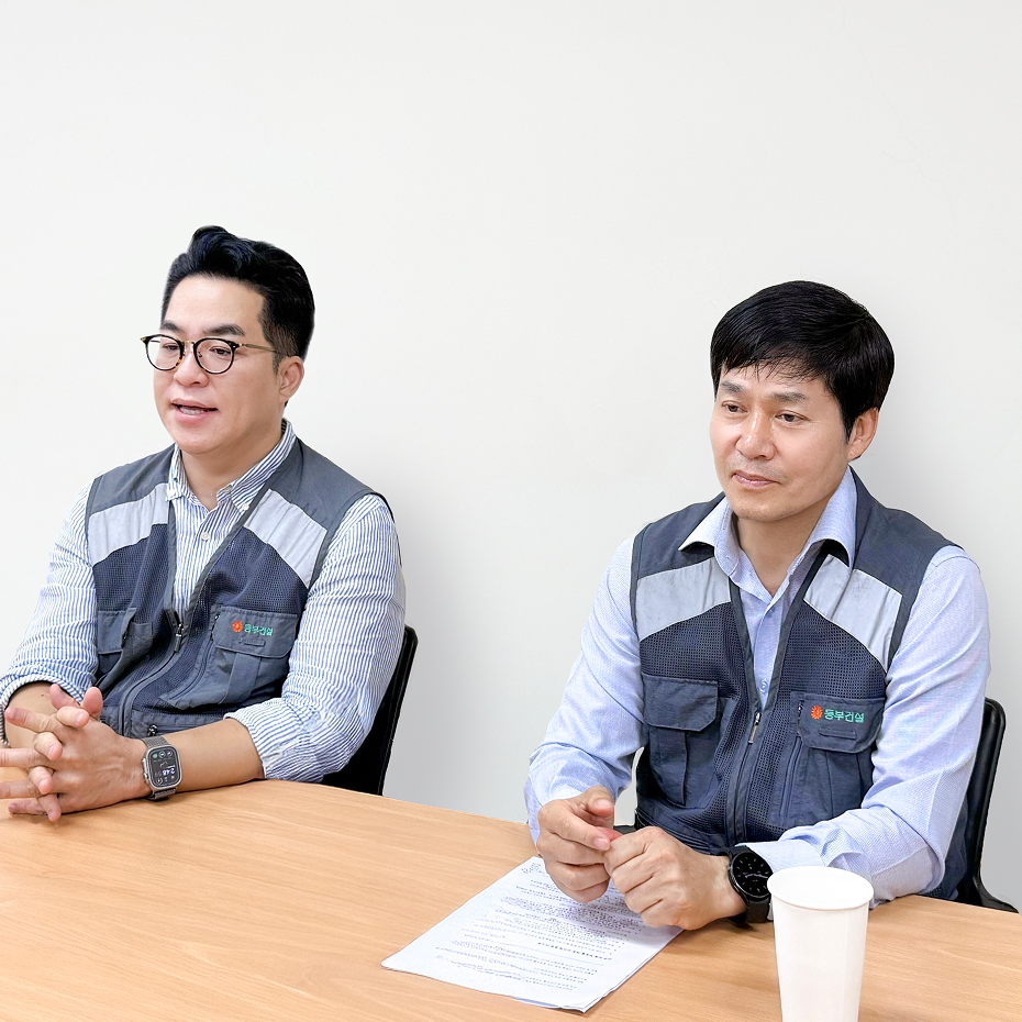
▲ Mr. Shiiba (left), and Mr. Hirai (right)
Q. Why did you choose the 'Meissa Platform' among many drone-related solutions?
One of the biggest advantages of the Meissa Platform is its intuitive user interface, which makes operation remarkably easy. Even without reading a detailed manual, users can naturally learn how to use the platform simply by clicking through the interface.
Additionally, the solution is specialized for the construction industry and holds a strong market share in Korea. Its proven track record across numerous construction sites gave us confidence in its reliability, which was a key factor in our decision.
Given this background, we recognized that the platform already offers functions highly useful for domestic users in Japan, and we expect even more features to be added in the future. These reasons led us to adopt the Meissa Platform.
Q. What changes or benefits have you experienced on-site after adopting the 'Meissa Platform'?
One comment we often hear on-site is that “having orthophotos alone makes a significant difference.” By using orthophotos during coordination meetings and daily briefings, we can visually share work progress and site layouts with subcontractors in a way that closely reflects real-world conditions. This has made it easier to discuss equipment and material placement, secure safe access routes, and plan layouts for upcoming work, significantly improving communication on-site.
At large-scale sites, it can take more than 30 minutes simply to check current conditions in person. With Meissa, that effort is greatly reduced. Personnel at headquarters and regional branches have found it especially convenient to monitor site progress remotely and gain a clear understanding of on-site conditions without being physically present.
Q. What has been the actual feedback from site personnel using the 'Meissa Platform'?
On-site personnel frequently mention how easy the platform is to use, and overall, we’ve had the impression that it is being utilized smoothly without any major issues.
What stood out most, especially during the initial implementation phase, was the courteous and thorough guidance we received. The team made efforts to address our needs from the field’s perspective, which left a strong impression.
While many parts of the platform are intuitive and can be operated by simply looking at the screen, there are inevitably moments when users encounter questions during more detailed operations. In those instances, having experienced that polite, face-to-face support during onboarding has made it much easier for users to ask questions comfortably.
We believe that this kind of attentive support goes beyond just the “ease of use” of the software itself. It’s a key factor that contributes to the overall user-friendliness of the service as a whole.
Q. Were there any features of the 'Meissa Platform' that stood out as particularly useful on-site?
One feature that left a strong impression was the earthwork volume calculation. Previously, we estimated the volume of excavated soil by counting the number of dump trucks transporting it off-site and managing it based on that data.
However, in many cases, part of the excavated soil is not removed from the site, but instead temporarily stockpiled in another area within the site. In such situations, it becomes necessary to identify the total excavated volume, the remaining volume on-site, and the actual amount transported off-site separately. This often required extra effort—such as cross-checking data, recalculating working days or equipment usage—to ensure consistency.
With the Meissa Platform, we can now visually and quantitatively confirm essential information at a glance, such as the excavated volume of the current area, the volume of temporary embankments on-site, and the required amount of fill based on the final grading plan. This has been a significant help in managing the site efficiently.

Q. Compared to other similar solutions, what strengths or unique aspects of the 'Meissa Platform' stood out to you?
One of the most notable strengths of the Meissa Platform is its ability to integrate with BIM models. Many competing solutions still focus primarily on two-dimensional data, while real construction sites often involve significant elevation differences. In such environments, Meissa’s 3D capabilities provide clear advantages.
We also found that features such as earthwork volume calculation become particularly valuable in the later stages of a project, depending on site conditions.Beyond functionality, we were impressed by Meissa’s proactive approach to technical collaboration with Japanese companies. Rather than positioning itself solely as a drone solution, Meissa demonstrates strong adaptability to the Japanese construction environment, which we believe will support wider adoption in the future.
What left the strongest impression was the speed of feature development. While many drone mapping platforms are designed as general-purpose tools, Meissa continues to evolve with a clear focus on construction-specific needs. This gives us strong confidence in the platform’s long-term value.
Q. What would you like to achieve in the future through the 'Meissa Platform'?
By utilizing the digital twin structure of the Meissa Platform, we expect to share real-time site conditions more effectively, reduce the burden on site supervisors, and further improve overall work efficiency.
We also believe that continued support during the initial setup phase—such as establishing Ground Control Points (GCPs)—will remain important. If this level of attentive support continues, the platform can be smoothly adopted on-site and utilized effectively over the long term. In this regard, sustained technical and operational support will be a key factor in successful implementation moving forward.