

Meissa
The Spatial Data Platform unifies scattered spatial data — drones, CCTV, LiDAR, satellites — into a ready-to-use state. Ingestion, integration, and visualization flow as one automated pipeline.
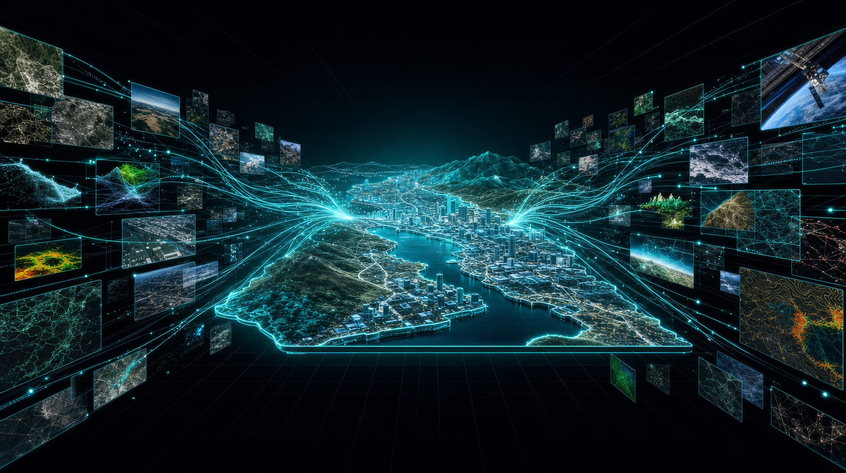
Scattered spatial data hits three walls. Only past them does 'collected data' become 'ready-to-use insight.'
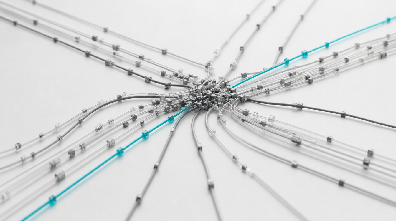
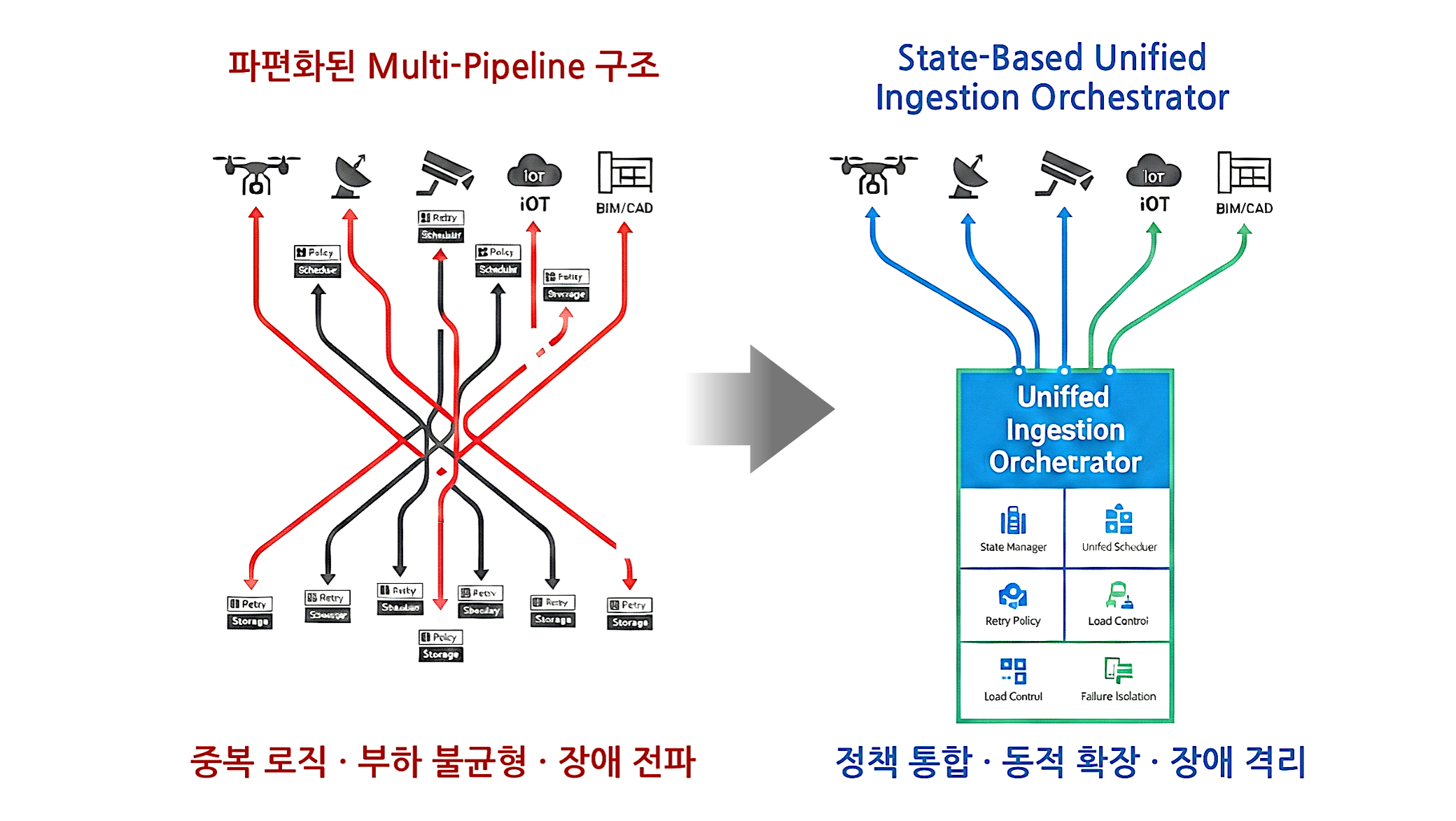
Fragmented ingestion paths cause duplicate processing, overload, and failures. They need to be consolidated into one.
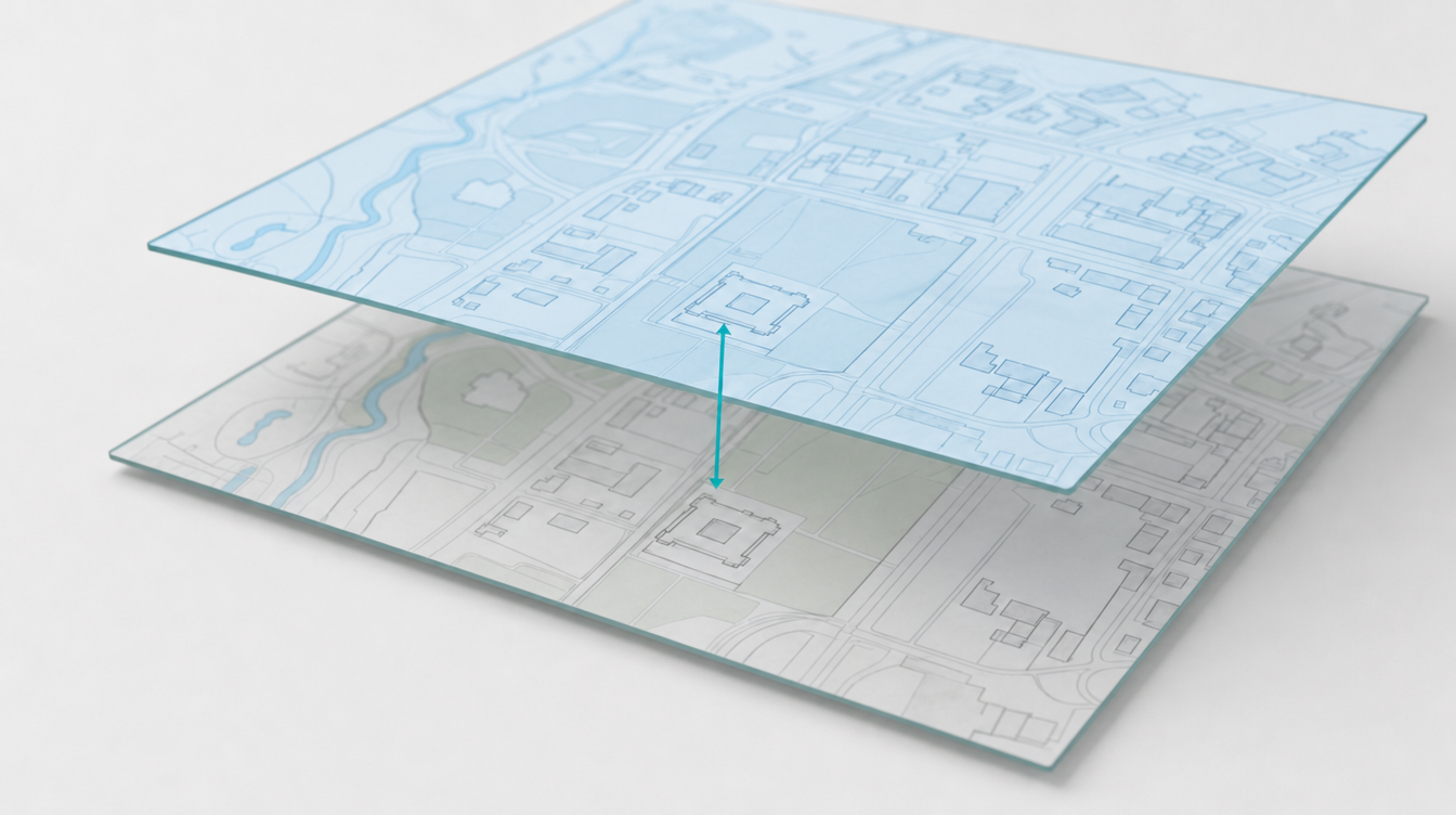
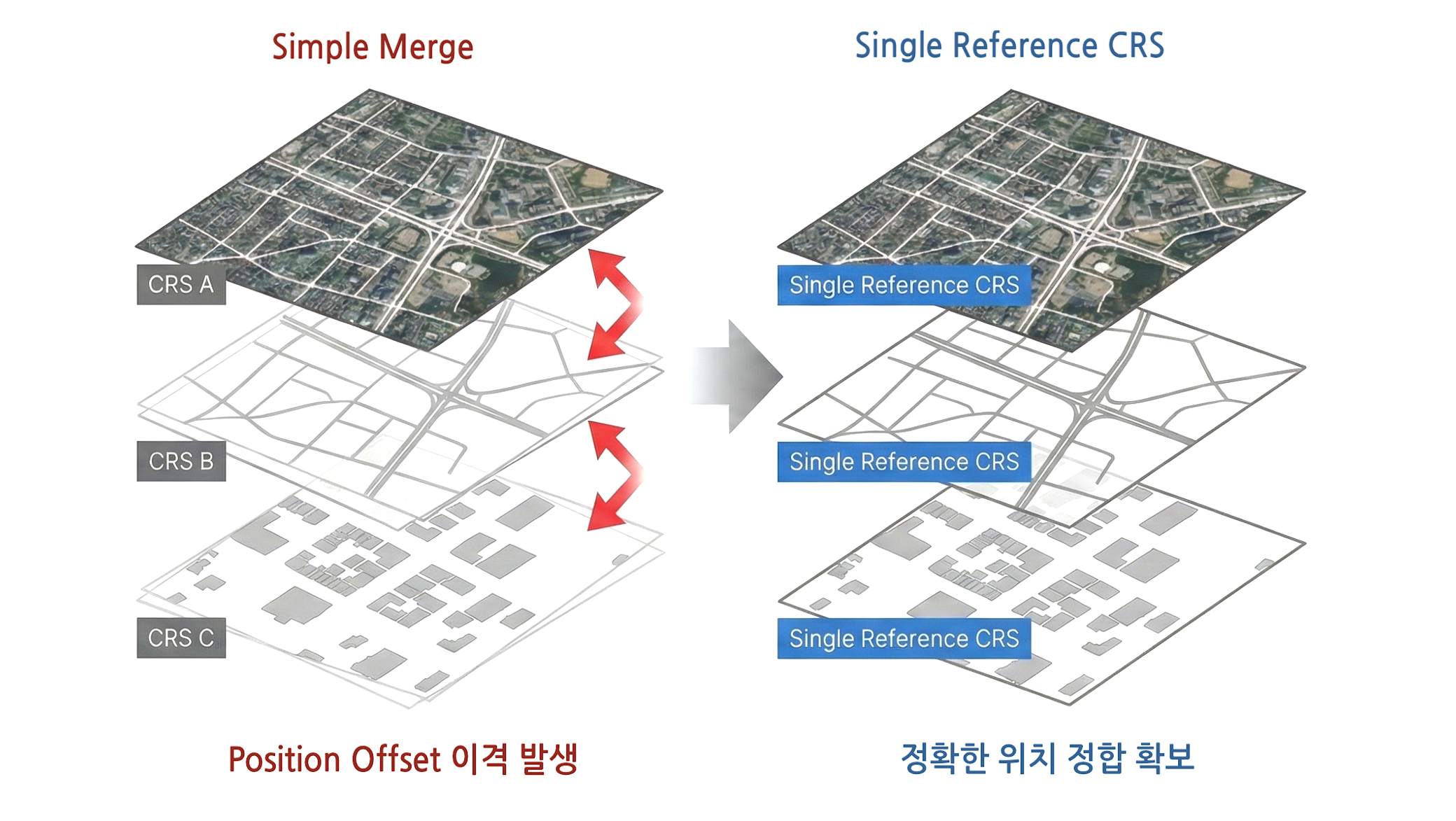
Merge data with different reference coordinates as-is, and positions drift. Only a single reference lets layers overlay accurately.
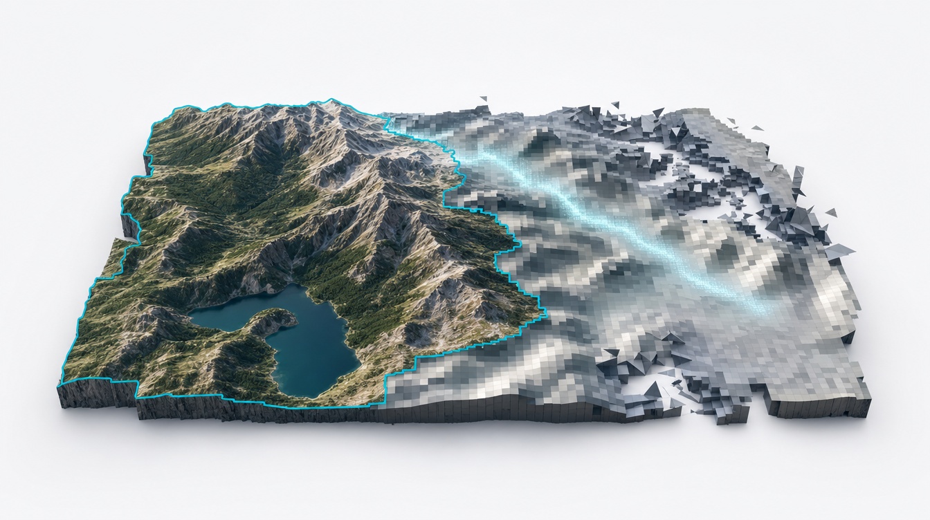
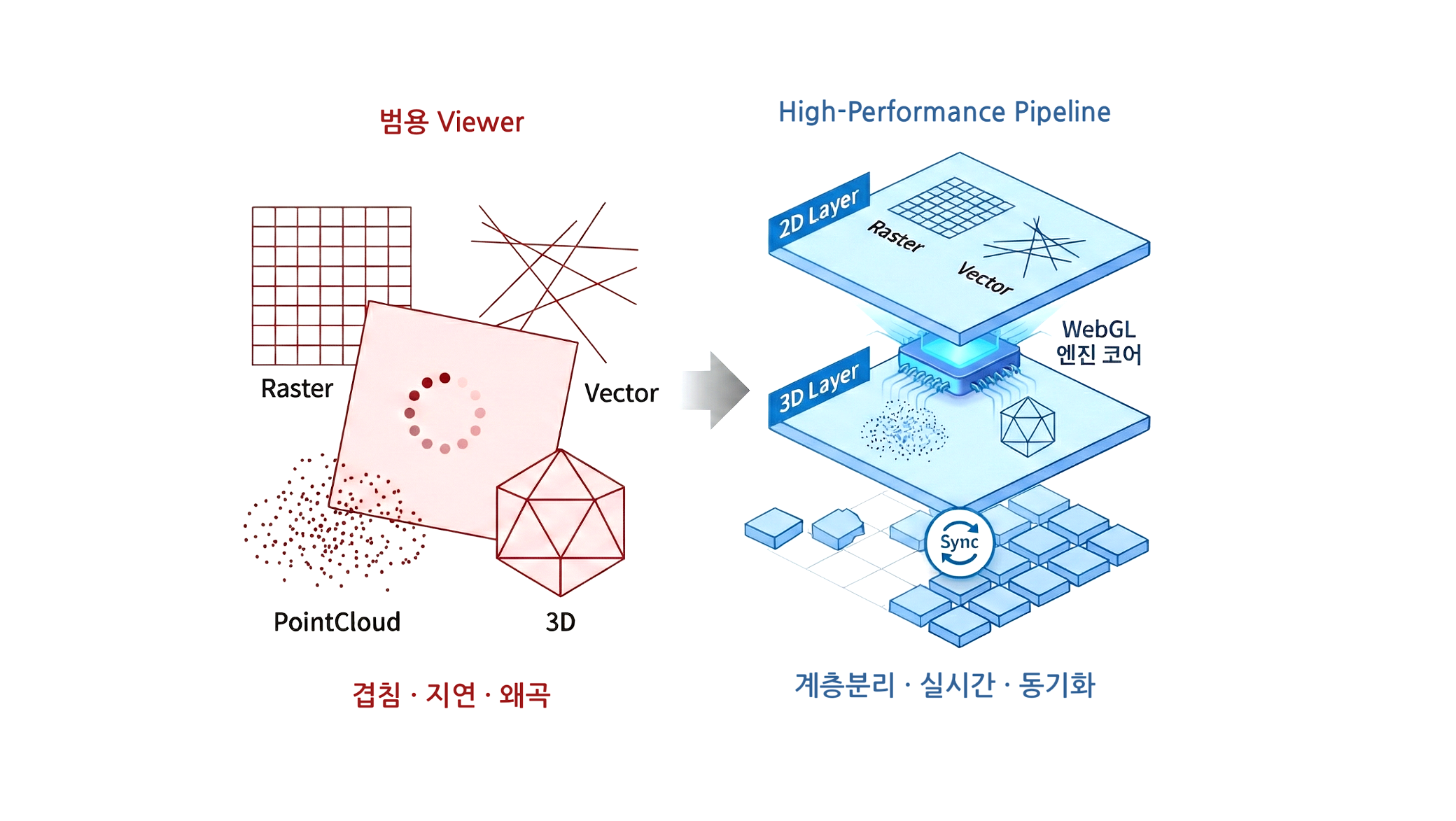
Generic viewers load heavy spatial data slowly and distort overlays. Purpose-built rendering for large datasets is required.
Ingestion, integration, and visualization run in sequence, reassembling scattered data into a single context.
Problem — fragmented data paths cause overload
Problem — different coordinate systems, misaligned positions
Problem — heavy data renders slowly and breaks
See how the Meissa platform connects disparate data into one.