“With Meissa, Woomi Construction turned headquarters standards into on-site efficiency.”
For a contractor managing sites across the country at once, 'what is the status of each site right now?' is a constant challenge. Every site runs a different sequence at a different pace, and headquarters simply does not have the manpower to watch them all continuously. Woomi Construction built a company-wide standard manual for monitoring every site systematically with Meissa.
Clear guidelines drove active adoption in the field, and higher adoption in turn maximized management efficiency at headquarters — a virtuous cycle. Read our interview with Woomi Construction headquarters to see how a systematic standard changed the way their sites work.
From Pilot Deployment to Company-Wide Standard
Q. Could you briefly introduce yourselves?
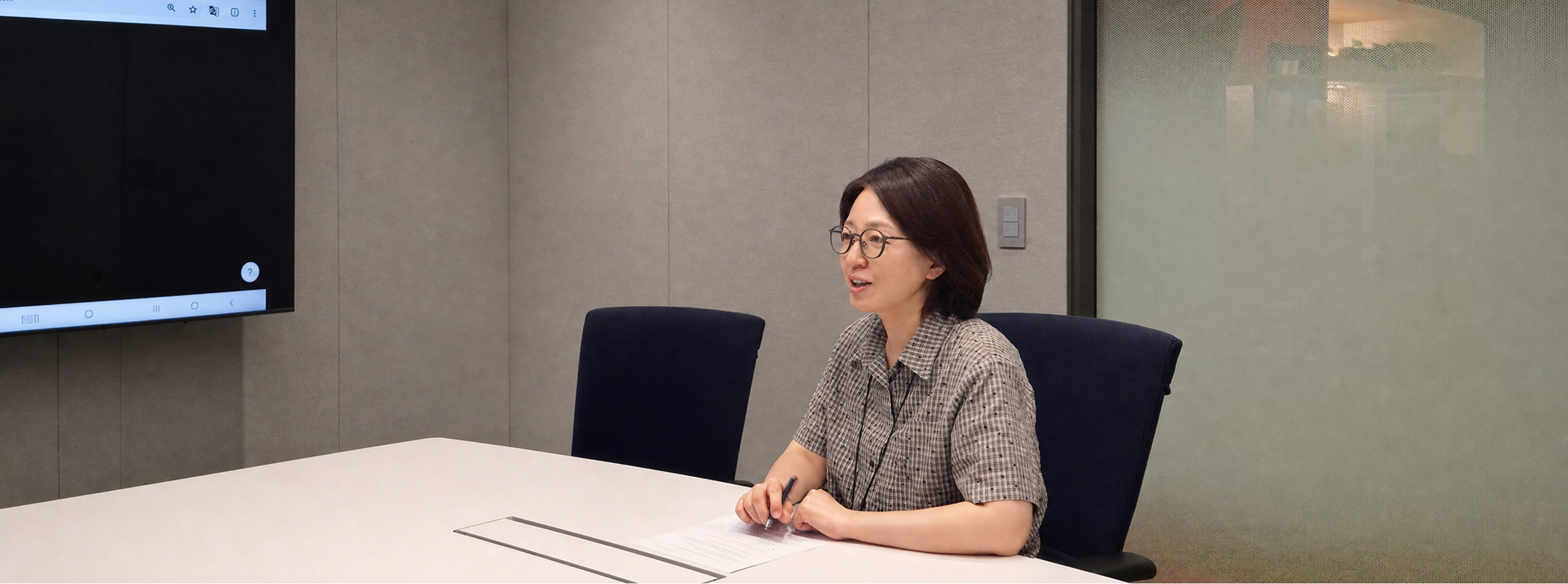
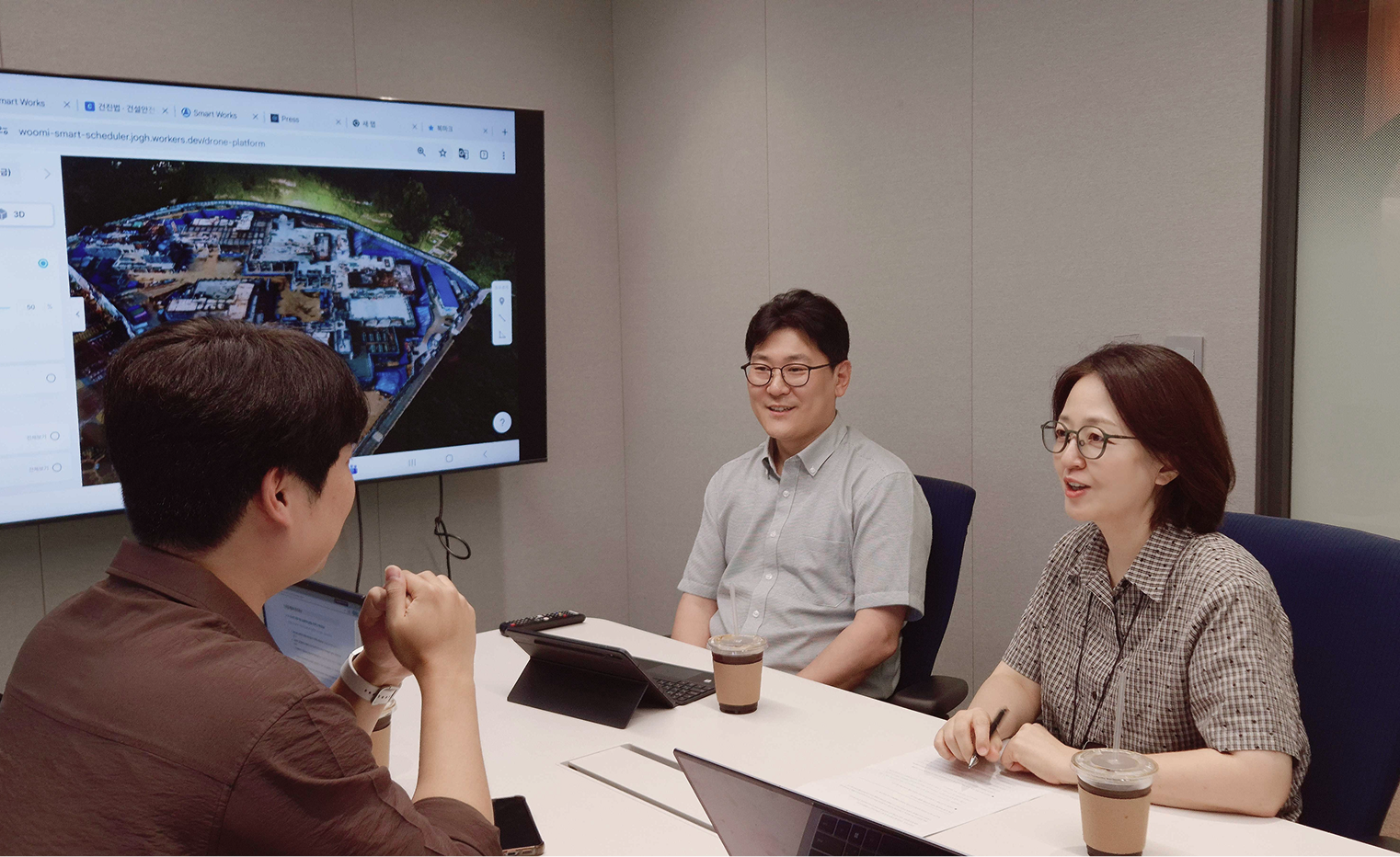
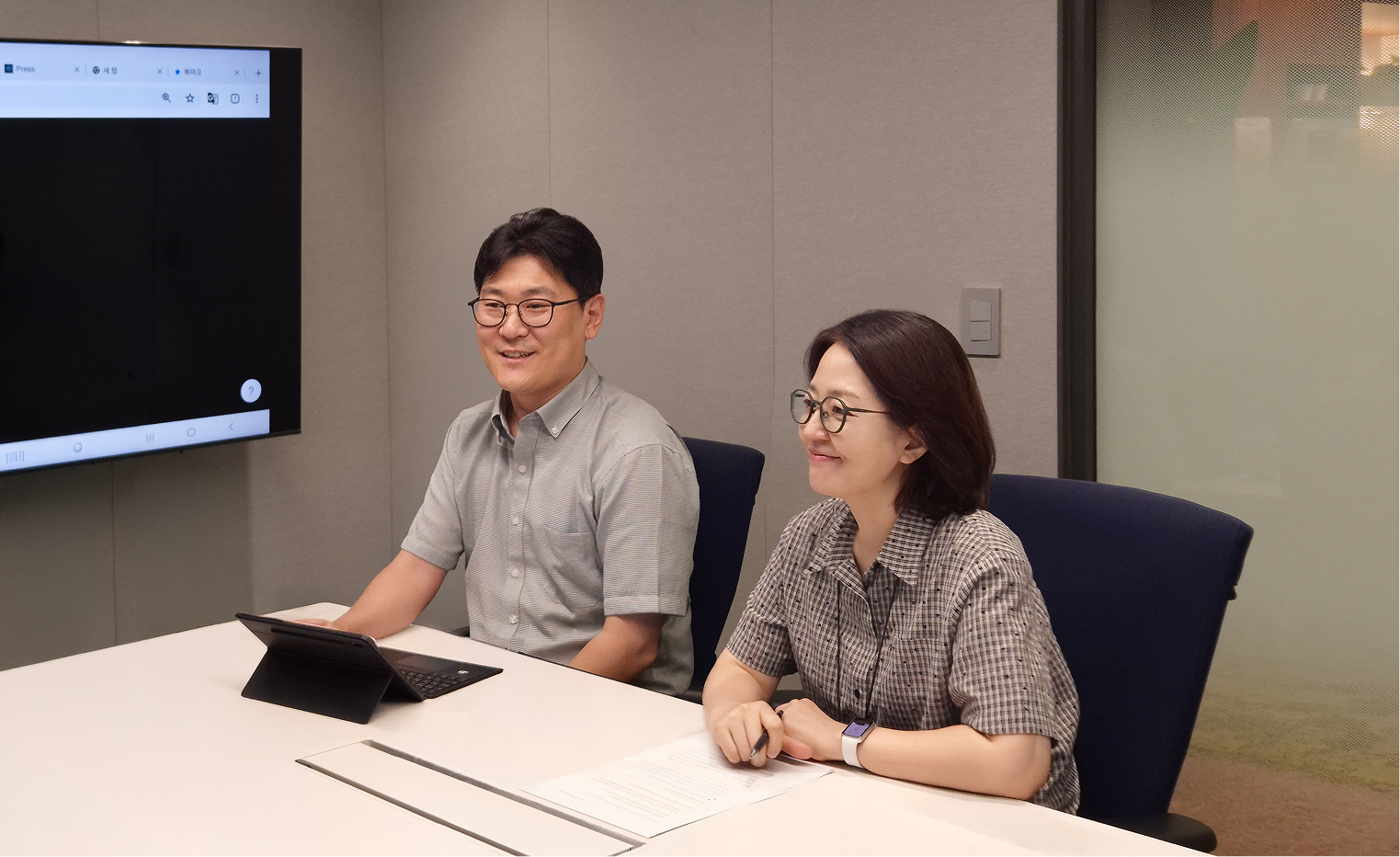
💬 Kim Hye-won, Executive Director · Oh Kyung-keun, General Manager
Hello. We are Kim Hye-won, Executive Director and head of Woomi Construction's Smart Technology Team, and Oh Kyung-keun, General Manager. Our team is responsible for embedding digital technologies such as drones, BIM, and AI into everyday site operations and scaling them into a company-wide standard. Working with smart construction partners including Meissa, we make sure the technologies we adopt deliver real gains in site safety, quality, and productivity.
Q. We would like to hear exactly how Meissa was rolled out to every site.
💬 Oh Kyung-keun, General Manager
It started as an effort to manage site progress more efficiently with smart construction technology. Above all, we wanted to close the information gap between headquarters and the field.
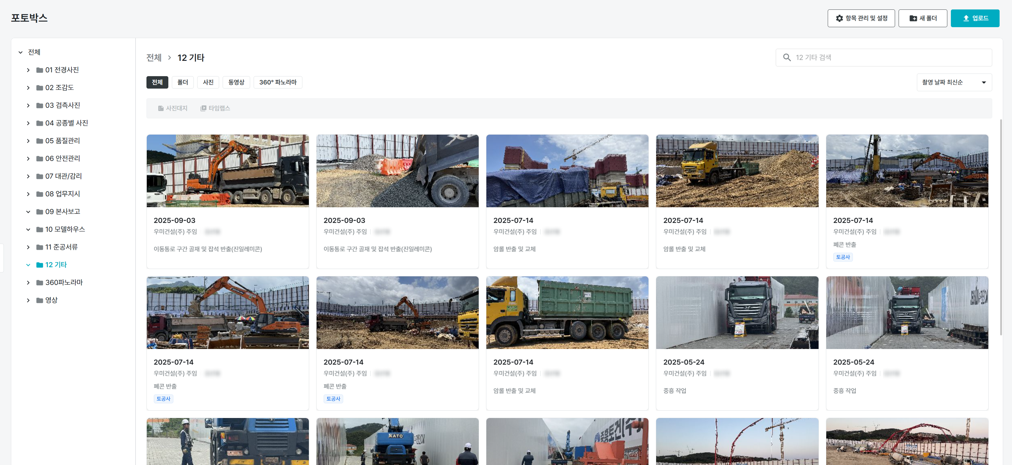
Headquarters can only judge from the reports and photos the sites send up, and those alone make it hard to read progress or spot latent risk in advance. When something did go wrong, someone had to travel to the site to verify it properly, which cost both time and money.
So we piloted Meissa at a handful of sites to validate how much it was used and what it delivered. While feedback was coming in from the field, an executive on our planning team said, "Has Meissa really taken root on site? If it has, let's clarify how it is being used and standardize it." Our team then collected opinions directly from site managers and field staff. A majority came back positive: "I would use it on my next site," and "I would be willing to pay for it." That is how the company-wide standardization began.
Headquarters Sets the Standard, the Field Puts It to Work
Q. What made the field treat Meissa as a real working tool rather than homework?
💬 Oh Kyung-keun, General Manager
Two things. Spelling out capture frequency by work type in concrete terms, and then staying with the sites until that data was actually used in their work.
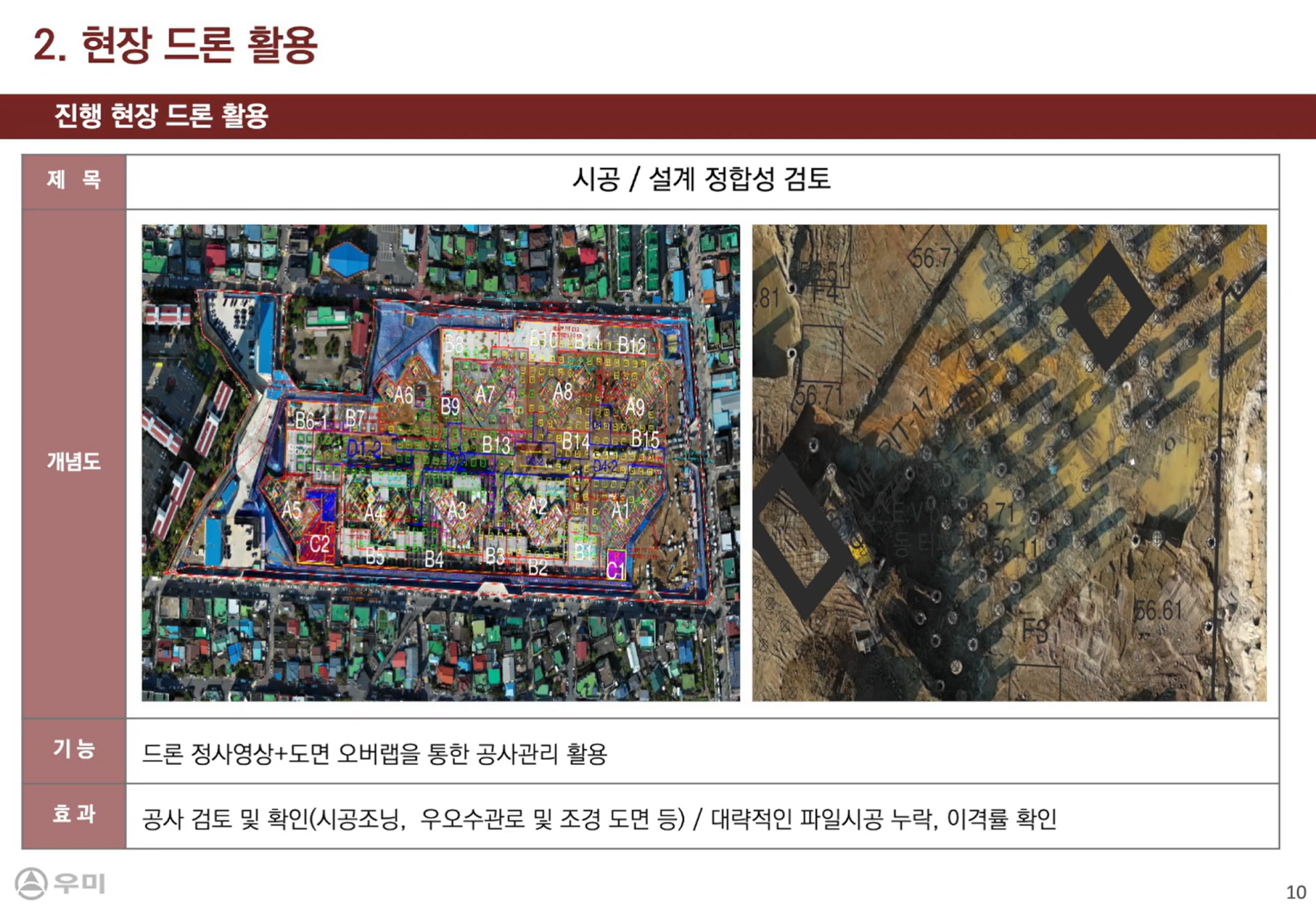
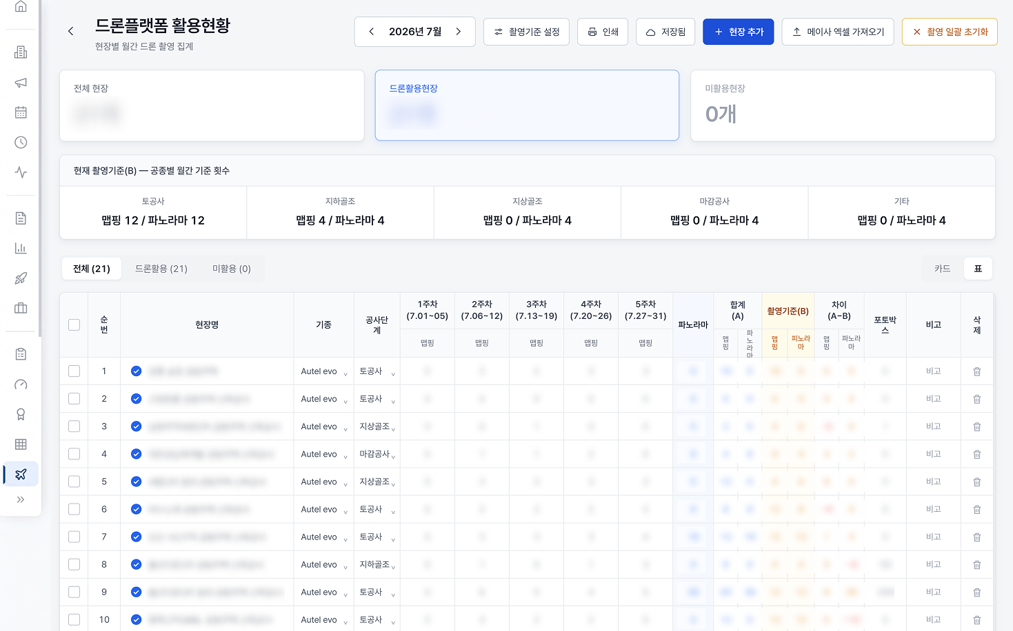
First, the frequency. During earthworks and below-ground structural work, mapping and panorama three times a week each; during above-ground structural and finishing work, panorama once a week. We assigned a couple of people at each site to handle capture, so simply following the manual builds the data. With that in place, the platform automatically compares actual capture counts against the standard, so headquarters can verify compliance easily.
We did not set those numbers at a desk, either. At first we proposed that "earthworks does not need real-time viewing, so once a week is enough," but the field pushed back: "to track volume changes we need to fly more often." Flying daily would be excessive, so we watched how often sites actually used it and settled on three times a week. Headquarters wrote the standard, but the field filled in the numbers.
The second point matters more, honestly. You can mandate capture with a frequency rule, but you cannot mandate use. So we built the manual not as a feature reference but as a casebook — "here is how to use it" — and distributed it to the sites. We laid out concrete examples of what this data can do in safety, construction, and quality management, then told them: "Use it freely within this scope, but please make sure to use the core functions."
Training came with it. We distribute the manual at groundbreaking and run our own 'smart technology training', which covers not just how to operate Meissa but how the work should flow from pre-construction through drones and BIM tools. It is less about learning one tool than about slotting tools into the order of work.
Q. Once you can see those aggregated results, headquarters and the field must respond differently. What changed?
💬 Kim Hye-won, Executive Director
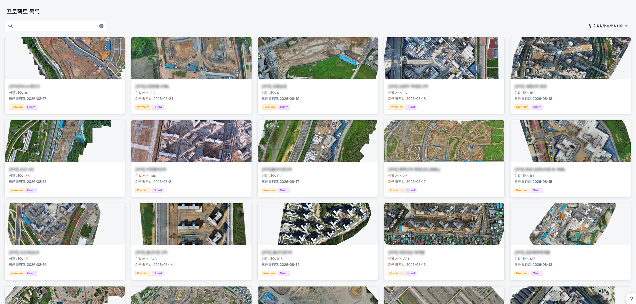
Sites even started a friendly competition over capture counts. At the headquarters level, we focus on keeping that momentum going by carrying good practices from one site to the others. We ask them to present directly at pre-construction performance reviews and results-sharing sessions, and we specifically say, "Do not tell us how you followed the standard we handed down; tell us what your site did with it." Smart technology use is also part of the year-end site evaluation, so a site's effort ends up on the record.
Sites with low numbers, on the other hand, we treat as sites where conditions did not line up, and we go to them first. Through retraining or on-site technical support, we look at where they are stuck and provide what they need. A new solution can easily feel to a site like one more thing to do. So together with Meissa we provide close initial training and technical support, and we have actively fed the requests and pain points from the field back into the platform's features.
💬 Oh Kyung-keun, General Manager
We check usage like this because we felt we had to ask whether the field was using it out of genuine need, or simply because headquarters pushed it company-wide. So whenever I had the chance, I asked site staff directly: "Setting aside the fact that headquarters can see it, do you actually need this for your work?" The answer came back the same every time: yes.
Where I felt this most was when we considered rotating drone models. Drones wear out faster than expected and they are expensive, so the idea was to distribute models suited to each work type and run the fleet more economically. But the reaction was not what we expected. Most said, "With a low-end model you can only take overview shots. For surveying or drawing overlays you need a proper drone you can fly with GCPs set up, so we will keep the model we have now." Even at the structural stage, where we assumed usage would drop, sites said, "We will keep using it here."
In the end we decided to supply survey-capable models to every site, which left about nine low-end units unused. It is a bit of a funny outcome, but the field had essentially volunteered to leave proper data behind, so from headquarters' point of view it was a welcome result.
The Best-Performing Sites Set the Next Standard
Q. It is striking how company-wide visibility sharpened as site adoption grew. Are there field use cases you can share?
💬 Oh Kyung-keun, General Manager
In terms of features, the pre-construction site survey is what they use best. When taking over a development parcel, they overlay the drawings against actual dimensions to determine surplus or shortfall in volume, and use that as the basis for smooth negotiations with the land development contractor. Beyond that, they also replace tedious coordinate surveys with drone data when installing earth retention or driving piles. And because orthomosaic imagery is captured on a regular cycle, it has been a great help in pinning down environmental disputes or questions of liability that can arise during the land development phase.
💬 Kim Hye-won, Executive Director
Sites that went beyond our guidance and used it better than we expected were impressive too. For photo management we gave only the minimum legal requirement as guidance, yet some sites had broken folders down by building and by floor, sorting overview, inspection, progress, quality, and safety photos with remarkable care. There is variation from site to site, of course, but because that variation is now easy to see company-wide, we can map out which sites need what support far faster and more precisely.
Woomi Construction and Meissa: Building the Future of Smart Construction Together
Q. In what direction would you like to see Meissa evolve?
💬 Kim Hye-won, Executive Director
I would like it to take less hands-on effort while leaving a more accurate record. Right now the spatial and construction data from all our sites is accumulating not as fragmentary records but as a time series that shows the flow of work, becoming a company-wide asset. Going a step further, I hope the continuity and completeness of those records will strengthen, so that data collected on site is organized automatically and can be used immediately in whatever form is needed.
Beyond that, if data from many sites accumulates against a single standard, it becomes the foundation for headquarters and the field to manage work within the same flow. And if it connects with the internal AI technology we are already using, it becomes an asset that makes decisions and operations more efficient. As a partner, we will keep relaying the voice of the field and developing the platform together.